
July 3, 2014: Trearddur Bay to Four-Mile Bridge
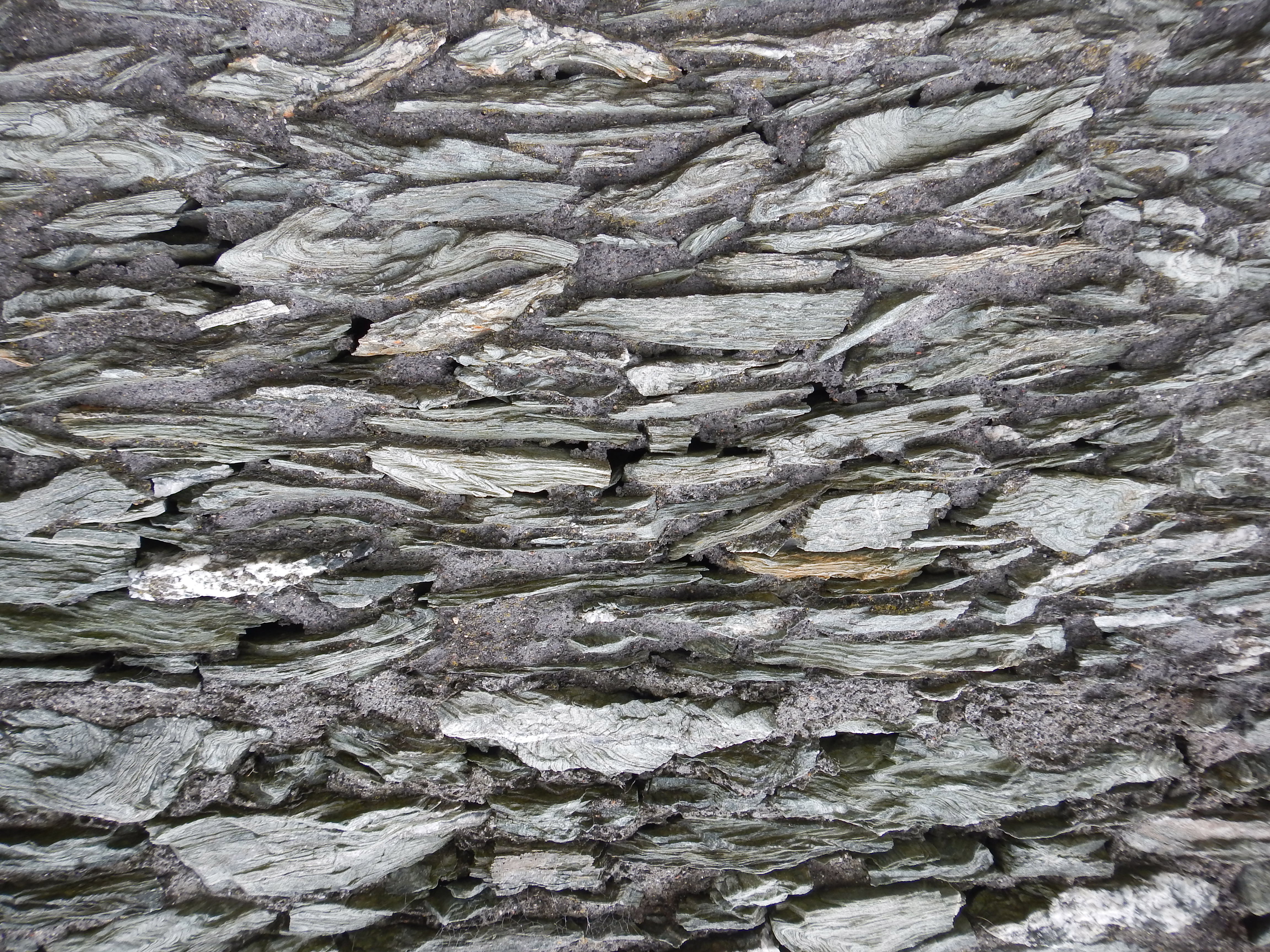
Soon after leaving Trearddur we encountered the marvelous patterns of this stone wall.
Gray skies, yesterday’s dominant tone, were still with us as we rose to greet our second full day on the Anglesey Coastal Path. I seemed to in a good enough shape for today’s installment and I was anxious to complete this stage for I knew that our next b&b would provide refuge for the next two days and so I could find refuge here if I needed a break. Once again we were able to greet the cool temperatures of the early morning by 9:00 or so.
Our route took us in a southwesterly direction along Ravenspoint Road. There were quite a few people out walking their dogs and we encountered first a Staffie, then a Boxer and finally an Alsatian – one who looked like he would just as soon have us for lunch. Our road swung to the left and headed for caravanland; here we encountered some German tourists who wanted to know where to find the two sea arches that decorated the coastline ahead. I was able to show them where these natural phenomena lay on my OS map but they seemed disappointed that they could not get their car any closer and would have to do some walking.
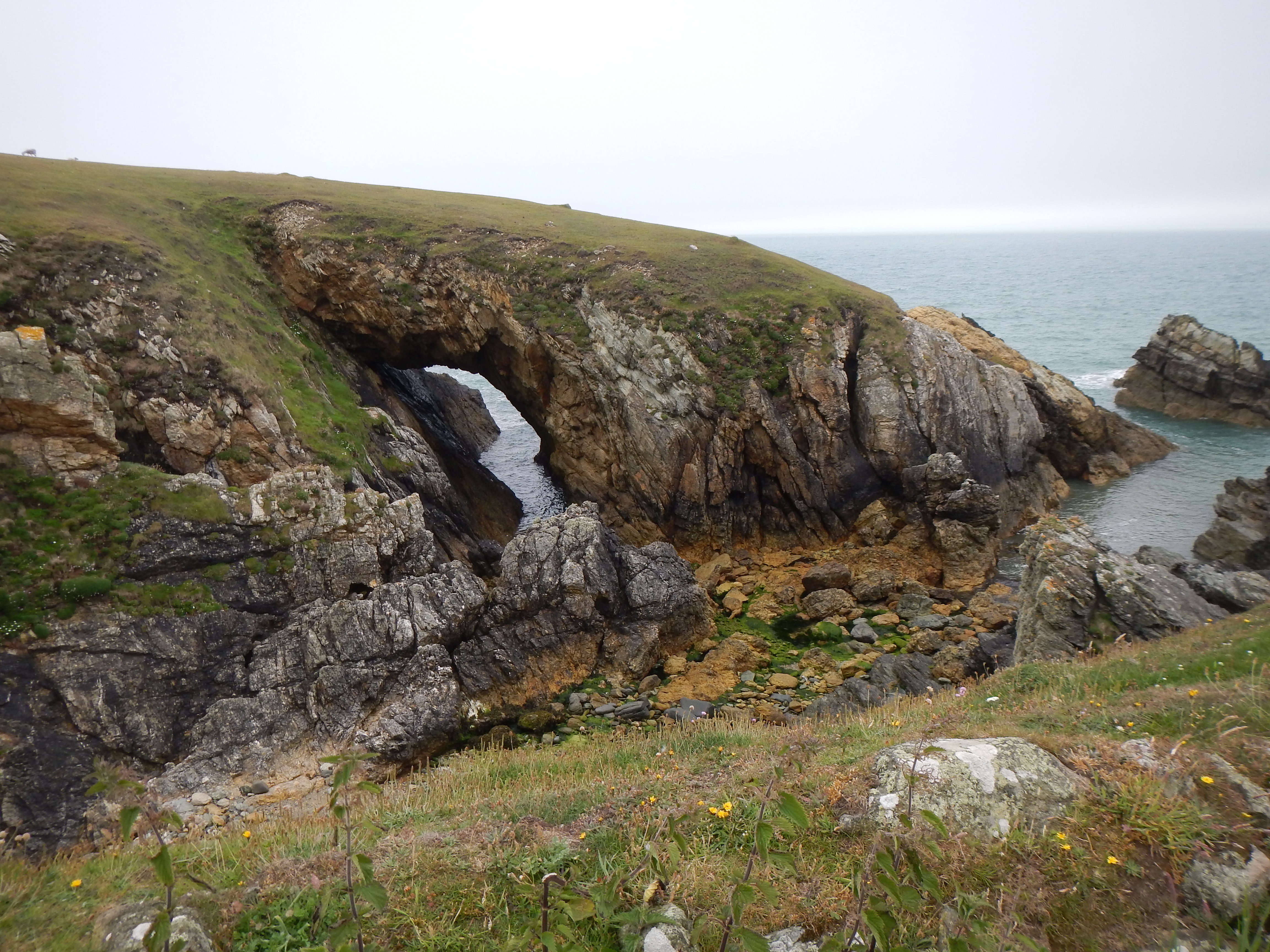
Natural arch near Rhoscolyn Head.
A series of small bays appeared on our right and, far ahead, one could see the curve of a distant headland. The walking was much more humane than yesterday, with lots of grassy path. Once or twice Naomi and I used public footpaths to cut out the headlands that Adrian usually included in his own itinerary. Eventually we did gain glimpses of the sea arches and other narrow inlets. (The Germans had made it here too.) The sun was now trying to emerge and, in all, my mood was far brighter today than yesterday – this would also be a shorter distance today anyway.
We climbed to a coastguard lookout (not featured on my OS map) and I reminded Adrian that we now needed to look for an escape from the official route – if we wanted to head inland to the village of Rhoscolyn and its pub. On the map I had spotted several likely routes to this village but the first of these was not evident on the ground. The second, which we spotted with the Borthwen Sands appearing below us, was a track leading in a northerly direction past a nearby house. I assured the others that we could use it and, as evidence, I pointed to a tall stile next to a gate that would otherwise have prevented entrance. Indeed, a couple with two Jack Russells were just about to exit the lane – the dogs slinking under the gate.
After the stile I paused to take several pictures, including the local church and a gargoyle atop a farm cottage – while Adrian got directions to the pub. I was delighted with this off-route variation – for it had the virtue of allowing us to reach the village without dropping down to the Sands (and thus facing a steep climb back up to civilization). We did drop down a bit now, on tarmac, to reach the White Eagle; it had just gone noon.
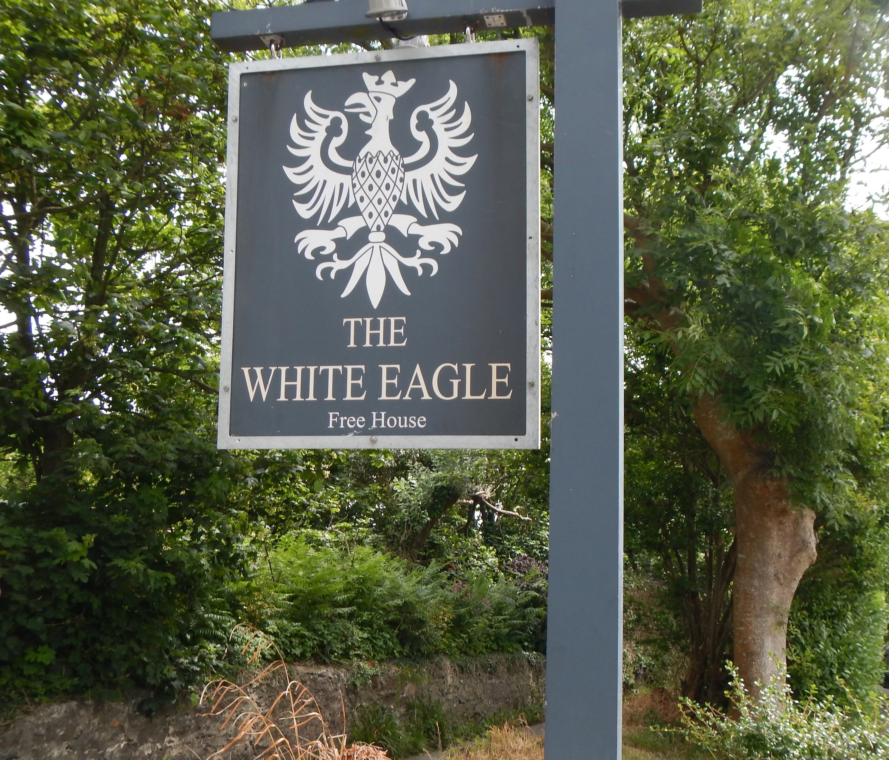
The White Eagle Pub in the village of Rhoscolyn. Locals told us that Prince William and Kate Middleton dined here when William was stationed at the nearby airbase.
There was already quite a crowd here but we found a nice table inside and ordered our drinks. I had a pint of lager and a prawn in Marie Rose sauce sandwich – it enabled me to illustrate for my relatives their persistent question: what, exactly is Marie Rose sauce. (And I did so without getting any on my green sweatshirt.) I called our next landladies in order to give a progress report and, in all, we had a lazy hour or so before paying up and making our exit. Some locals showed us how we could use the pub garden to reach the road that would take us down to the beach. On our right was a gothic horror of a house and a mini-Stonehenge.
In fact there is a road from Rhoscolyn to our day’s destination, Four-Mile Bridge, and had the weather been bad or my legs sorer I might have suggested its usage – but I was doing fine and we were soon trying to find solid footing at the back of the beach and, after some more headland walking, along the back of Silver Bay as well. It was now quite warm and sunny and I was glad I had lathered up with sun block at the White Eagle.
Adrian located some steps at the back of the beach and here we began quite a departure from our usual progress along the coast itself – a northwesterly section with our backs to the sea. Much of this forested route was overgrown and it almost appeared that we were the first users of the year – though surely this was not true. I was trying to follow the twists and turns of the route in my text and I would say that there were far more sections in which boardwalk had been provided through mucky areas than those mentioned here.
In more open territory near Bryn-y-bar farm I was puzzled to see Adrian depart from the dominant path to circle a grassy hillock. Naomi and I followed him in protest – since the uneven grassy tussocks were not kind to my knee. When we were reunited I discovered that Adrian was somewhat bovine-phobic and he had been attempting to circle around a large, sleeping herd on the adjacent hillside.
At the farm we reached a track that made progress much easier, though there remained a further section of off-road bushwhacking over more duckboard and along overgrown walls. The OS map would surely indicate that we were to reach a little lane and that we could take this out to the Rhoscolyn-Four-Mile Bridge road, but the waymarks lead us directly to this highway itself. I pulled out my compass to make sure we had done all this correctly and then we took to the tarmac to complete the hour-long march up to Four-Mile Bridge. This means that we disdained one final adventure on the coastal path, which heads down to accompany the bed of the river that effectively separates the section we had walked so far, Holy Island, from the rest of Anglesey.
It was just gone 4:00 when, after a ten-mile day, we at last reached a t-junction in Four-Mile Bridge. Directly ahead of was the tea-house recommended as a pick-up point for our new landladies – but it was obviously closed. So I sat down on a bench across the street and made my phone call. I had just put my phone away when there she was, Rachel, just passing nearby in her blue runabout. We were quite relieved that we would not have to wait but it was difficult for me to get into the front seat – lifting the knee was quite hard and then I didn’t know where to put map case, backpack or cane.
Rachel had one errand to complete before taking us to the b&b in Rhosneigr – she had to pick up our bags back in Trearddur Bay. It wasn’t too easy to secure these, since Mr. Murphy’s ladder was now perched over the front door, but we were soon on our way back to Driftwood in Rhosneigr. As we sped along Rachel let us know that we had been following famous footsteps today for, while he was stationed at the nearby RAF Valley, Prince William and his Kate were often seen hereabouts (at the White Eagle, for instance) and this place was where he bought his groceries and here he ordered late night pizzas, etc.
I handed the athletic Rachel my bags of gel and she put them in her freezer; then I went upstairs for a nice shower and rest. Shortly before 7:00 we walked into town (still some ten minutes away) and had a very nice meal in Sandy’s, an eatery with a shocking pink facade. I drank two Jack Daniels with coke and ice and had the lamb chops. It was starting to rain as we shuffled back to our b&b but we weren’t too wet when we arrived. I retrieved my frozen gel and once again laid the bags on knee and ankle. For forty minutes or so I kept falling asleep over some article but at last I decided not fight it any more and by 9:30 it was lights out.
Adverse weather conditions meant that we did not actually complete the next stage until the following year. If you want to know what the route is like from from Four-Mile Bridge to Rhosneigr you need:
Day 6: Four-Mile Bridge to Rhosneigr
If you want to know what happened on the next day of our 2014 expedition your need: