
May 29, 2015: Penmon Priory to Pentraeth Beach
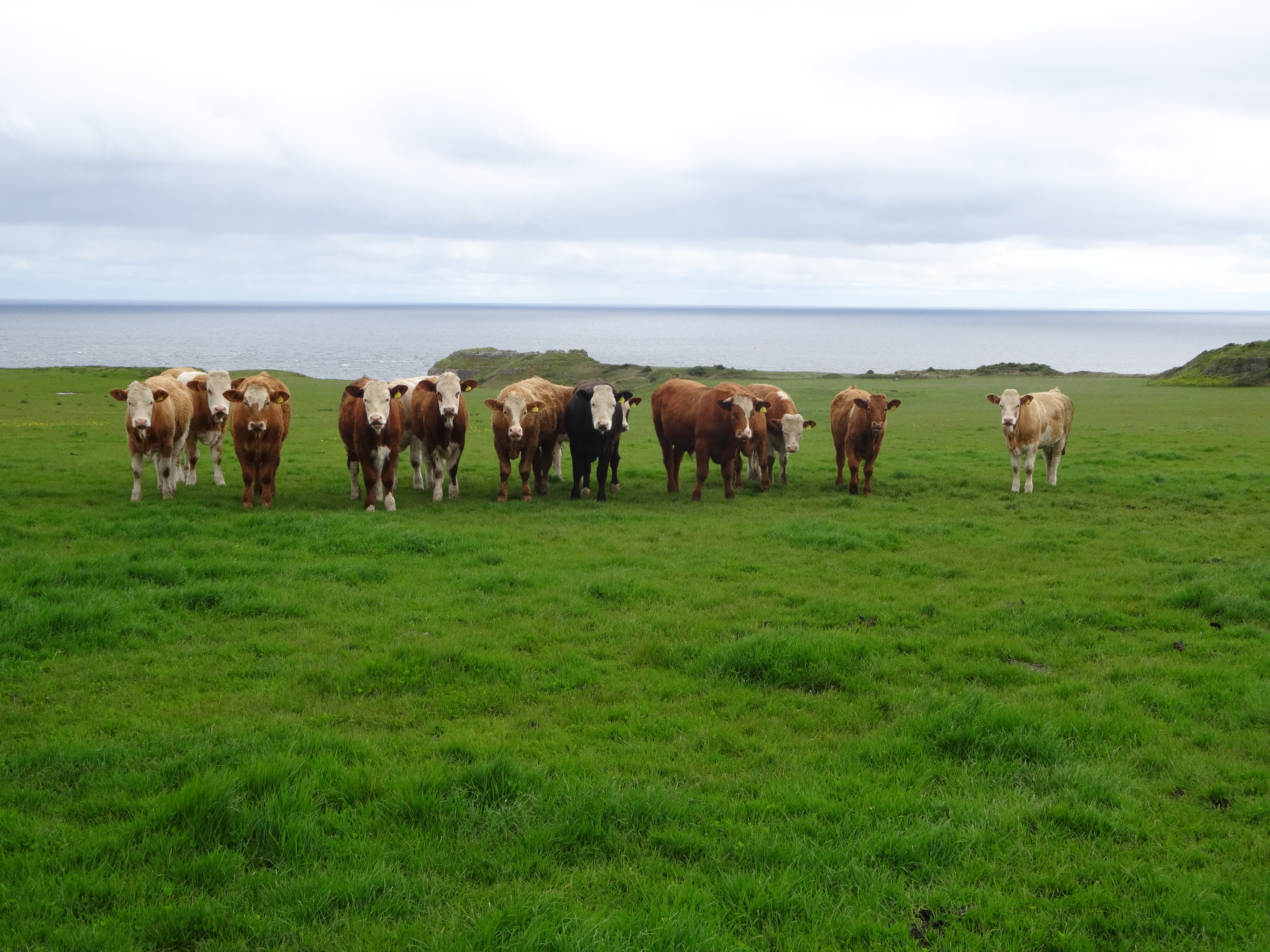
After clearing the Penmon headland it was time to endure another close inspection by the resident cows.
I often get up rather early on trips like the current expedition – curiosity about the weather we might face in just a few hours is certainly one reason for this habit. Today there was no mistaking the dire news – rain was splashing down heavily on the tarmac lanes of Beaumaris. All I could do, as I made my subsequent preparations, was convince myself that there were still hours to go before we were actually required to step forward into this moisture and perhaps we would have new weather by then. This piety doesn’t always work but this morning it did. By the time we had breakfasted, dragged our bags downstairs, received our packed lunches from Carol and answered the knock of our taxi driver the last of the rain had ended and bright patches were appearing in the western skies.
Today our driver would retain our bags until he picked us up in the afternoon – when he would drive us to our b&b in Moelfre. This morning we had only the short drive back to the Penmon Priory where were able to begin our walk at about 9:40, We walked back up the toll road just a bit, found our track over the peninsula’s saddle and in five minutes we had dropped down to the coast path above the northern coast.
Our direction was a westerly one today but the route was hardly straightforward – a series of field crossings and lane marches, with guidebook instructions coming so frequently (turn left, use this gate, follow the left-hand hedge, etc.) that even on my large-scale Explorer map of the area I had not been able to follow our line of march with any confidence. In the event the route was well waymarked and the gradually rising gradients not too strenuous and we were always cheered by the ever-brightening skies above us.
Walls, hedges and lanes did dominate the early stretches and it was only rarely that an identifiable place-name allowed us to see where had gotten to on the map. As we dropped down the lane next to the house called Tyn y Coed I told Naomi that she was once called this as well. “What?” “You were once a tiny coed too.” Now we turned left next to a garden and crossed several field to emerge on a lane at Cerrig Duon, where a renovated barn on our left had been converted into a modern dwelling.
I had not anticipated that we would be walking in an essentially civilized countryside – with only the occasional patch of gorse reminding us of the moorland from which these outposts had been tamed. Nevertheless I found this to be a charming environment. We walked along the high outer wall at Gwel yr Ynys and emerged onto a lane where there was a little ambiguity about how to drop down the field that faced us. Adrian chose to keep to the left-hand edge and was rewarded at the bottom by a set of stone steps leading onto a lane. There were actually retrospective views of the Menai Strait from this surface – which soon yielded to a tarmac lane that we followed for some time.
We had to step aside only occasionally for a passing car and progress was easy – I could see we were making excellent time. We paused to take photos of an ancient Methodist chapel on this stretch – the tiny cross on the OS map provided me with one of those rare clues with which to measure just exactly where we were. We turned right on the drive to Fargen Wen but I needed to pause here to adjust my map and my notes and when I looked up I could see that my sister-in-law had missed a westerly turnoff and I had to call her back – it was one of those moments when the front-running Adrian hadn’t waved at us with his stick. We continued to pass the occasional house, as at Ty Mawr, but I would have to say that farms were now more common than private residences. Indeed at one point I could see Naomi and Adrian taking evasive action to circumvent a herd of cows and at another spot the trailers in our party suddenly found ourselves walking between a young bull and the bovine ladies. “Don’t make eye contact,” I told Naomi.
Gradually we began to rise on the flanks of Bwrdd Arthur, a real eminence on this route, as we followed fences through the grass and spotted a church up on our left. As we reached Tan-dinas farm a lane dropped us around a corner – where we could get our first view of the territory we would be travelling through until the end of the trip – the whitecaps and sandy shore of Red Wharf Bay sparkling in the sunshine. Unfortunately our ability to enjoy this scene at close hand was now menaced by a surprise – a sign warning us that the route ahead had been closed due to a landslide and that we would have to undertake a diversion.
This required us to continue on a circuit of Bwrdd Arthur and I could soon see what was in store – for we were heading for the distant mast of a wireless telegraphy station and here we would make a descent of this hill on tarmac, not footpath. Just before reaching this turnoff, however, Adrian decided he wanted to climb to the summit of Bwrdd Arthur in order to visit the ruins of the iron age hill fort of Din Silway. Naomi and I found some low rocks to sit on while he did this but they were quite uncomfortable and now that we were on the western side of the hill there was a very chilly wind blowing up at us.
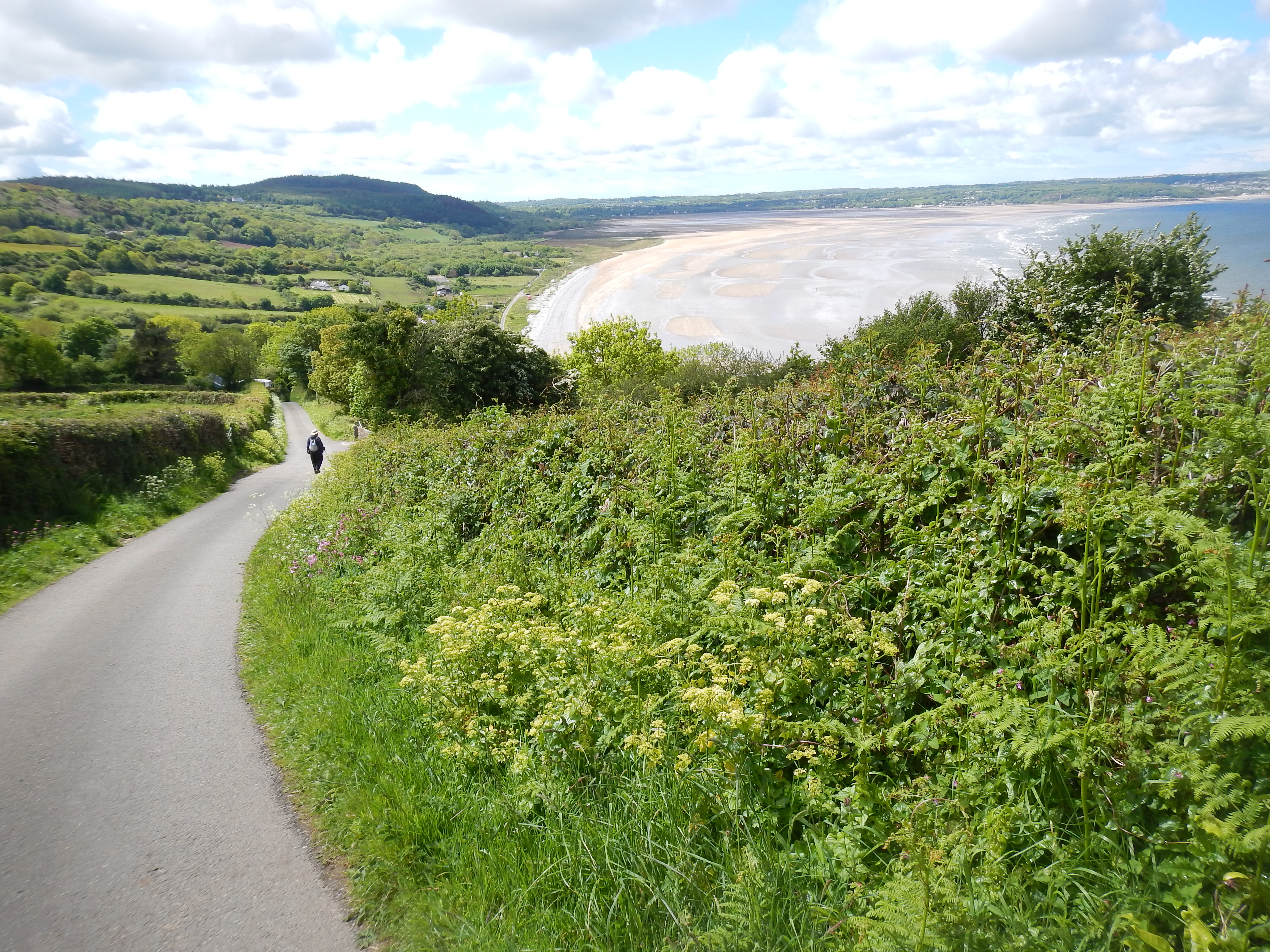
Because of a recent landslide on the coastal path itself it was necessary to make the steep descent from Bwrrd Arthur on this roadway.
Adrian soon returned (denouncing his detour as not worth the effort) and we dropped down to a road that soon made a very steep descent in the direction of the bay. I felt sorry for some walkers who were making their way up this gradient – this looked very tough. They advised us that we would be diverted onto a lane to our right and so we were, soon joining the original route for a final drop across fields to a set of steps giving access to the shore.
It was nearing 1:00 by now and we decided to use some large stones as a perch for our meal. I soon had shards of tinned salmon leaking from my sandwich all over my pack and my map case. When we were finished with our food we continued on, scrambling uncomfortably over more rocks and wading across a stream – before noticing that there was a bridge we had missed. Our immediate objective was a road that paralleled the shoreline. In fact we were never required to take to the sands themselves and once again we were able to make fast progress.
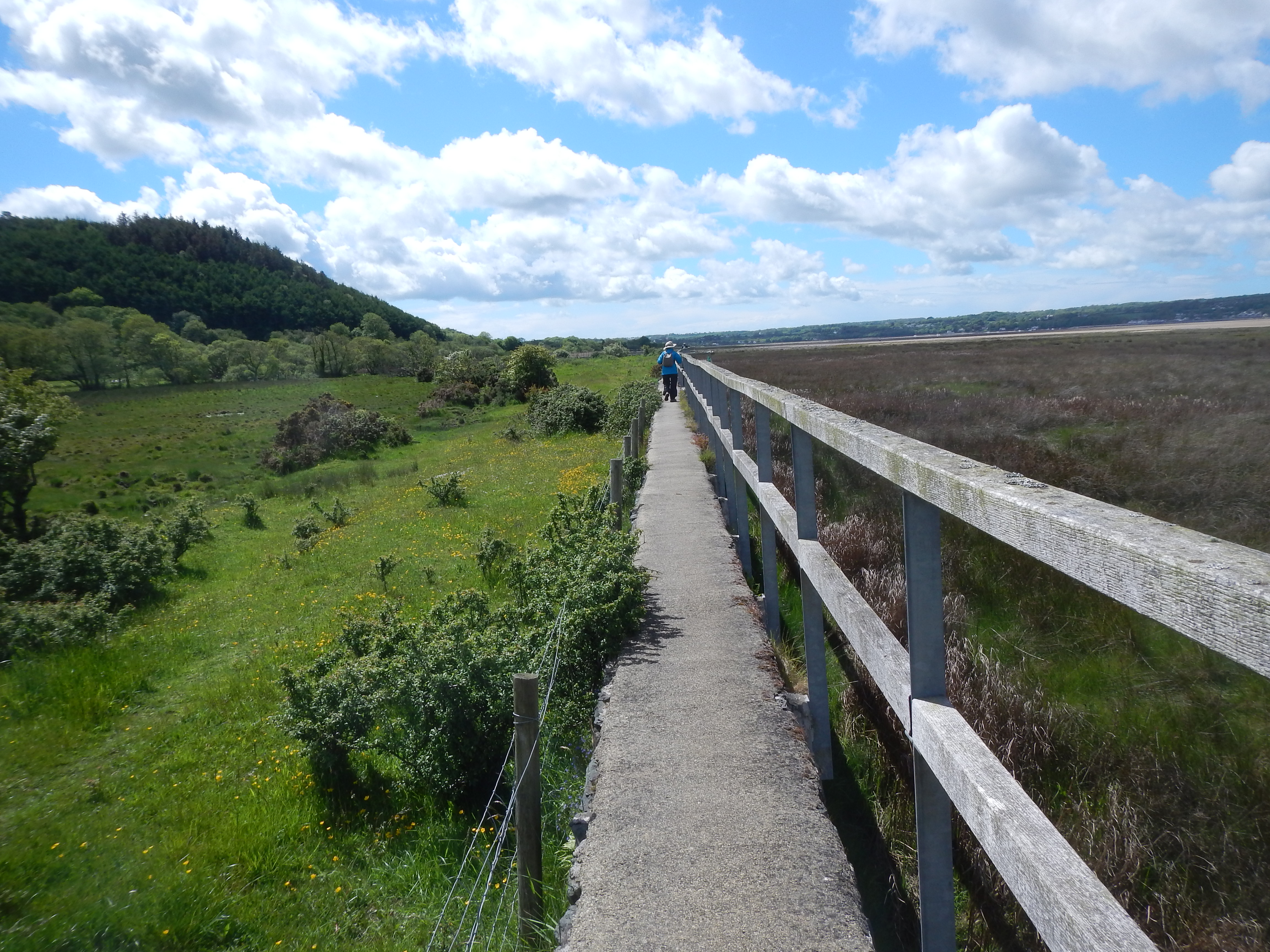
On our approach to the Pentraeth beach, our day’s final destination, we were assisted by a walkway along this concrete sea wall.
We reached a refreshment kiosk (loos) and Adrian drank a Vimto. From a nearby car park a family was emerging with lots of kids and dogs and indeed we encountered plenty of both on the rest of the trip. On our left was a tall wood and interesting sea plants and reed beds appeared on our right but we were directed to walk along a narrow concrete sea wall. Naomi was a bit spooked by this passage, which did require the walker to overcome a fear of heights, but every now and then there was an observation platform. On these, incidentally, we discovered a series of unusual memorials (shells, stones and flowers) – little votive offerings that reminded us of all those locks attached to a bridge over the River Seine.
A sandy track at the back of the beach now took us the rest of the way to the Pentraeth Beach, our terminus for the day. It was 3:30 and we had walked nine miles. I sat down on a low wall while Naomi used her phone to summon our Beaumaris taxi. I couldn’t help contemplating quite another scene – suppose there had been a driving rain at this point; would we really have to stand out here for the twenty minutes it took our chap to reach us?
Accommodation had been secured for us in Moelfre, to which we would walk tomorrow, and in a few minutes we were settling into comfortable and modern rooms at our b&b here. Views across the bay (in which dolphins sometime appear) were spectacular from our own windows – though Adrian had eyes only for his computer screen after a fifteen-minute struggle to get the wi-fi to work. (If Adrian has been a passenger on the Titanic he would not have stepped into a lifeboat without checking on its broadband capacity.) Our host, Mike, a man with many fingers in many pies as well as a full-time job at the local nuclear plant, advised us on places to eat before resuming his painting of the exterior woodwork (under the watchful eye of the Labrador, Ben).
We walked around the corner at 5:00 or so and entered the town pub, the Kinmel Arms but, fearing the arrival of a crowd, we shifted tables and shortly after 6:00 ordered our evening meals. I had the battered cod. There was still plenty of daylight as we climbed back up to our b&b, stopping to see about making a reservation at the nearby Ann’s Pantry for the next night. For me it was time for another early night.
For the next stage in this journal you need: