June 24, 2002: Painswick to Ryeford
On the last morning of our walk I added a sausage to my Alpen and eggs during breakfast in the Falcon bar. The morning paper identified Darryl Kyle, a Cardinal pitcher, as the dead baseball player. When it was time to check out we made arrangements to leave our big packs behind – planning on picking them up ourselves by taxi later in the afternoon. Then we returned to the precincts of the Royal Oak where I had spotted a Londis market. Here we bought sandwiches and snacks and Tosh, bemused by the Indian behind the counter who had trouble understanding her, bought a second throwaway camera. We had plenty of time to stow our purchases in our daypacks since the lady in question just had to visit the local rock shop as well.
Then we visited the interior of the church, which featured a model of Drake’s Bonaventure and at 10:00 we foregathered at the lych gate of the church and crossed the main road for the last time, continuing northwest on Edge Road. Across the valley we could see the heights we had to surmount shortly but first we used field paths to leave Painswick. A local gent with a Dachshund told us that a very large sum of money had been allocated to improve our route but, curiously, there were still some ambiguities just ahead.
After passing through a field that was being preserved as a traditional meadow and dropping down between some hedges views opened out on a slope descending to the edge of the rugby pitch. A party of three walkers was tempted to go left here but I knew to aim for a disk at the right hand bottom of the field. Tosh got these three turned around but at the field corner they turned left to descend to the streambed of Wash Brook (a mistake) and we lost track of them for some time.
We used a new £8000 wooden bridge to cross the stream and continue uphill after passing Washbrook Farm. The directions in Burton did not quite correspond to the signs on the ground (there were obvious signs of local diversion) but we had no difficulty climbing up to a steep access road and then on up to its junction with the Edge road. We did not, however, stop at the nearby pub – it being only 11:00.
Our route continued uphill in stages, with a number of rival paths and tracks inviting us forward. A wood on the right was a good landmark and at the top of the rise we continued forward to descend on steps past an old quarry and reach a second road. Here a diagonal path lead down to a trackway in deep woodland and we were once again in territory very similar to that traversed the day before – with occasional views over the lip of the escarpment as we headed mostly west in one of the Cotswold Way’s typical meander loops.
We must have been an hour on this stretch, using a variety of surfaces and ending up at Cliffwell Cottages. Then we headed uphill past Cliff Well and on to a Siege of Gloucester/Cromwell monument. Burton says that travellers can admire the view from here but the burgeoning local foliage had ended any chance of a view from this spot.
At Ring Hill Farm the three missing walkers finally caught up with us, somewhat embarrassedly since this was part of a Sierra Club expedition and the man in charge of route finding had done this route once before. A second chap said he had noticed my UCLA cap and that he had gone to Stanford, at which point Harold had to add his Berkeley associations. An old gentleman was weeding his garden and a tractor was backing out of the farm opposite as we let the Californians get ahead of us on the next stretch.
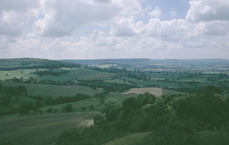
Things were more open as we passed over stiles and along hedges, gradually leaving the escarpment behind for a direct approach over grassland to the prominent hill at the end of Haresfield Beacon. The Californians occupied one hillock so we continued forward to a second where we sat down for lunch at a commanding viewpoint, the valley of the Severn and its estuary dominating the scene far below. You could even see the tower of Gloucester cathedral. I ate my grilled chicken Weightwatchers sandwich, some crisps and a Dime bar. I was on my second screwtop Diet Coke of the trip.
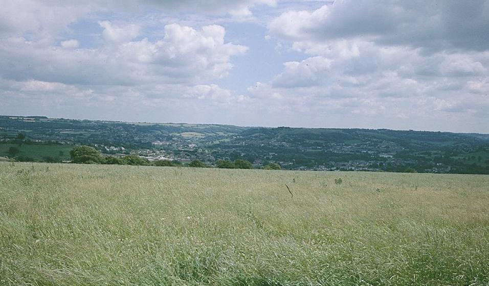
We had to reverse directions after lunch, heading back east over the grassy hilltop, then descending to round a little valley and returning to the west to walk out to another promontory, with another topograph. Then it was again back east, with Tosh fantasizing about the amenities available in the car park at the end, but we found only cars, owners and their dogs. Here we returned to the woods, turning southeast for a delightful walk through Standish Woods. I kept a close eye out for signs, since again there were many competing tracks, but we missed no turnoff and followed an old railway cutting through quarry country and, out in the open at last, views of Stroud on our left and Stonehouse on our right.
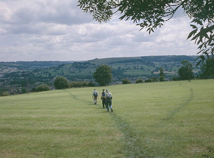
Our route lead us down the spine of the declining hill, with a tractor dumping grass cuttings on the trail itself at one point. After a brief excursion in woodland we reached a road where someone had posted a notice about a lost cat next to our exit stile. We descended another field, with the others going gaga over a cactus collection in a geodesic glass dome in someone’s back yard. The path squeezed between two houses and reached another road, where we turned right for a few houses before dropping steeply down though more fields.
A last bit of uphill brought us to a stile being guarded by cows. Margie, who was first to this spot, turned to me and said, “You can go first here.” I edged my way around these beasts, who soon took off, while Margie took my picture. We were walking above a wood but soon enough we descended to cross the railway line and continue forward out to the A419 at Ryeford.
It had been part of my original plan to walk into Stroud along the canal, but at some time during the trip I had determined that there was no reason to do an extra mile and a half when we could call a cab to come get us. Across the street was the Wyevale Garden Center and here, after eight and a half miles, we ended our day and our walk at 2:55.
I pulled my mobile phone out and tried the Stroud taxi number but the dispatcher said all of her cabs were on school runs and she couldn’t get us a cab until 4:15. So I tried one of the Painswick numbers I had picked up at the Royal Oak and one of these chaps agreed to pick us up in twenty minutes.
Margie and Tosh went into the garden center for the loos and some Magnum bars and our driver arrived twenty minutes later. Our first destination was the Falcon Inn but this involved a slow traverse of Stroud itself, with many school children making their way home and the cabbie showering us with opinions on the failures of the local councils, the absence of any planning (but if you were a Mason you could get permission to do anything) and the poor service ethic in the U.K.
Once we cleared Stroud it was only five minutes to Painswick and we had soon retrieved or bags and begun our return journey to Stroud station. I knew there was plenty of time for us to make the 4:14 and we had over twenty minutes by the time our taxi ride had ended. It had cost only £15. Tosh and Margie went to have a coffee in a local pub while Harold and I bought tickets and used the station loo.
A confused old lady, who had forgotten the name of her destination, sat opposite us once we got on board, but she left at Kemble, the station we had used at the end of our Thames walk. I phoned Dorothy with my arrival time. The Lees never stopped snacking; they and Marge got off at Slough in order to get a local to Ealing Broadway. My train reached Paddington shortly before 6:00 and I was home by 6:30.
The walk had been very enjoyable, though in such posh surroundings and with such a luxurious approach to walking it had been an expensive venture – about £475 pounds for me if you include all forms of transport, baggage transfer, accommodation and food. I don’t know how to factor in the sore back that began to bedevil me a few days later.
To continue with our next stage you need:


