June 13, 2003: Ryeford to Uley
A little short of a year after our completion of the first half of the route our quartet reassembled for part two of the Cotswold Way. Tosh disdained a meeting point at Paddington, and the night before our Friday the 13th start-up date I had dictated to her all the changes she would have to make in order to board my 10:05 train in Reading. I was almost half an hour early at Paddington, carrying my daypack – with my big knapsack on my back. I wandered around – waiting for a platform number. When I got to Reading I could see the Lees and Marjorie Rogers, just arrived from Boston, boarding my compartment; what I did not learn till sometime later was that Harold had marched them off their second train – the first one having taken them only from Ealing Broadway to Slough at Maidenhead – mistaking it for Reading. Fortunately there was another train also heading west and they had arrived at our platform with only two minutes to spare.
We had a speedy journey to Stroud, catching up on news and visiting the loos, and at 11:34 we arrived. Here, by prearrangement, we found the chap whose taxi we had used to complete our walk last time, and he soon had us in the parking lot of the Wyevale Garden Center in Ryeford – where he had picked us up the previous year. He said he was familiar with Hodgecombe Farm, our destination for the night, so we gave him £30 and sent him off with our packs. It was very bright and quite warm and I put my sunglasses on and adjusted my map case. The latter contained Anthony Burton’s Arum Press volume, xeroxes of the maps from Mark Richards’ guide book (the text was again not so useful because it was written for south to north walkers) and even a text I had put together myself – indicating all the elevation ups and downs to be encountered on route. At 11:50 we were on our way.
Because we had only a short six-mile walk today I had decided to start us off with a brief side trip to King’s Stanley, where the Internet had yielded the existence of three pubs. First we crossed on the A419, heading west on the pavement opposite a school and then returning to the south side of this busy carriageway (in two stages) in order to head south on another road. We crossed the Stroudwater canal and a second road (which I had not expected) and followed the continuation of our route past Stanley Mill and (leaving the Costwold Way) heading off route – still on our highway. A huge lorry was using both sides of the road and a second roadway as well to make a u-turn – as we turned left on a street directly aimed at King’s Stanley. The others were eagerly inspecting every garden for evidence of native floriculture.
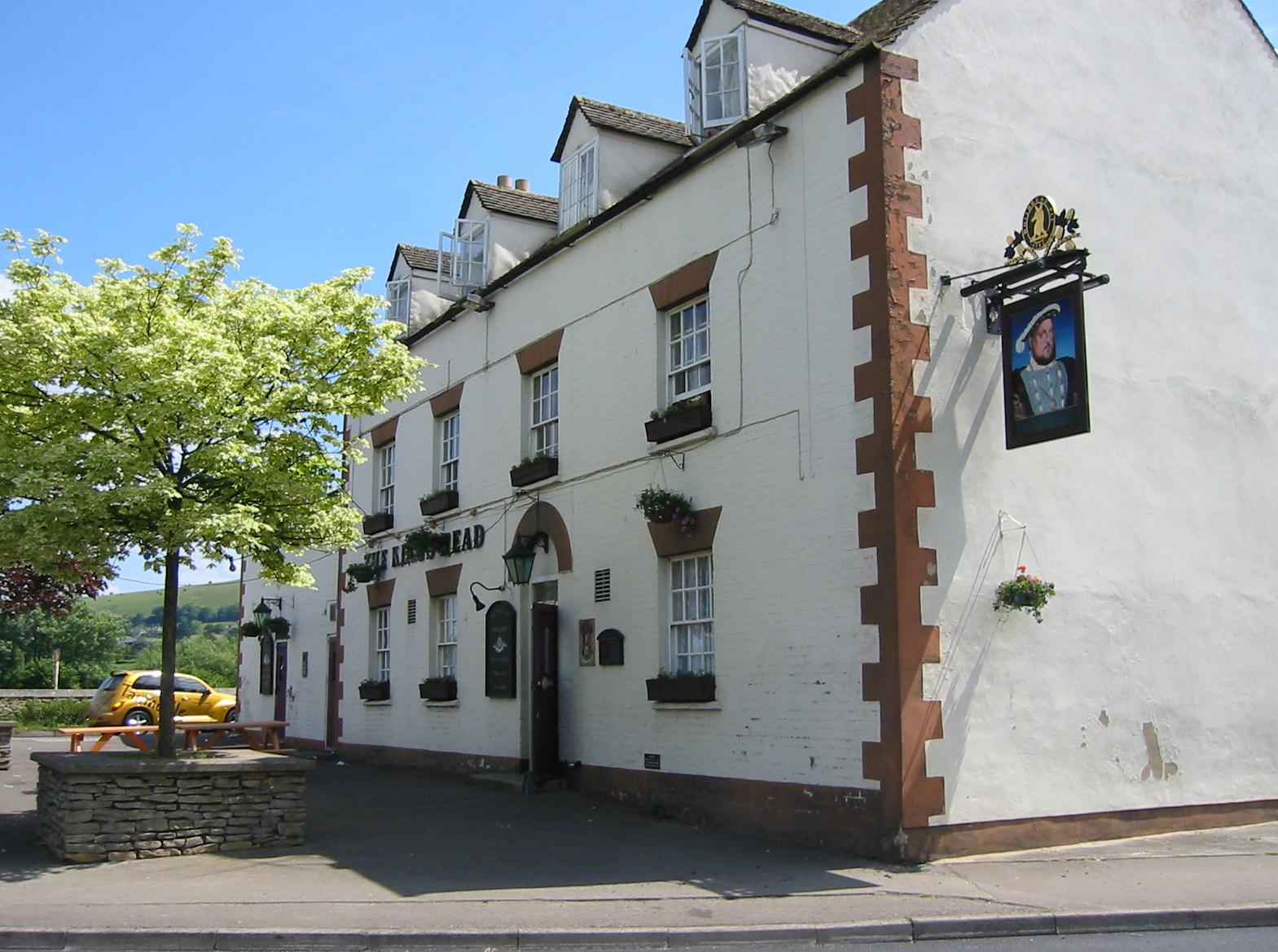
At the head of a town triangle we discovered the King’s Head Inn and, shortly before 12:30, we entered for our first pub stop. I had two Diet Cokes, the women drank mineral water and Harold had a pint of lager. He also joined me in ordering cod, chips, and mushy peas. An intense game of pinochle was taking place at one table, with six or seven regulars bent over their cards, and some municipal workers – including one with a tattoo covering every inch of arm from wrist to neck – were supping ale at the next. Harold and I took the legs off our trousers; I walked in shorts for the rest of the trip.
We left at about 1:30. Outside I lathered up in sun blocker but I had gotten around the corner before remembering to return for a shot of the pub itself – the first of the 50 photos I took with my digital camera on this trip. We walked along the road to Middle Yard, passing a sign for the nearby Chinese takeout, and continuing uphill in quite warm sunshine. At such moments I wore my tan Uniqlo baseball cap, my compass and whistle hanging from my chest. We had soon rejoined the Cotswold Way.
I was looking for a turnoff after the Baptist chapel in Middle Yard and I found it, pointing steeply uphill. This first ascent was a bit of a struggle, especially when we were in the sunshine, but fortunately we were often embowered in shade, squirrels running over our heads, and the higher we got the better the views below us and the more likely we were to find cooler walking on the slopes of Pen Hill. Here I reached my 3500th mile on British footpaths.
The gradients eased off and we soon had a delightful mostly level walk of almost two miles, sometimes on the edge of the escarpment in the sunshine, often in the woods slightly higher up. Once, as we sprawled on the ground for a rest, I put some tape on my heels; the right one in particular seemed to be heating up on me. I was perspiring profusely and I certainly enjoyed taking my cap off when we were in these shaded precincts.
Sandford’s Knoll appeared on our right and we began to climb again in Buckholt Wood, reaching the B4066 near the Nympsfield road. Our maps indicated public conveniences here but this proved to be a lost opportunity; they had been closed after travelers had started camping out in them. This intelligence was gleaned from the lad operating the ice cream van in the nearby parking lot, where Margie and Tosh had a snack. I took a picture of the wildflowers and one of the entrance to the Nympsfield Long Barrow and we continued along the edge of the escarpment.
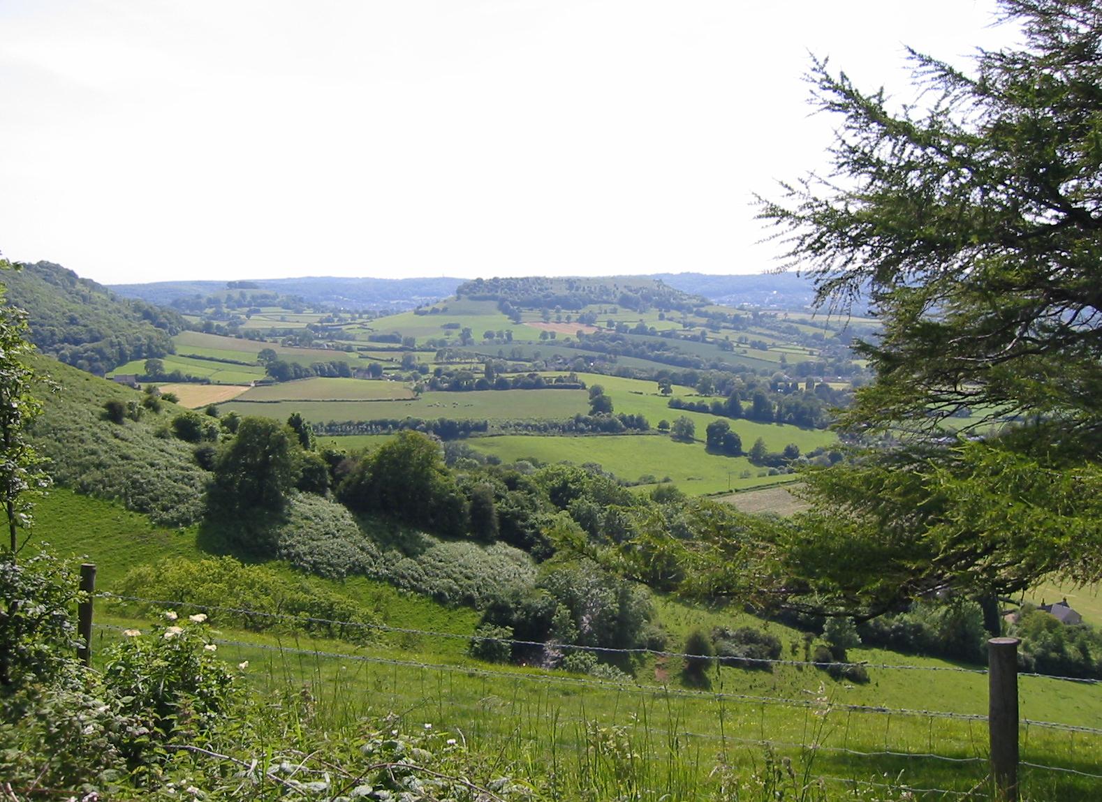
The views, now including Cam Long Down, were spectacular, and there were lots of people about to share the view, including hang gliders and model airplane enthusiasts. The southern half of the Way seemed somehow less urban than the northern half, where you often overlooked city sprawl for miles, and I liked this. We climbed a stile and kept our heads down (not wanting a sudden collision with a model airplane). The path wound around to an ascending road and we used this to rejoin the B4066. A short distance along this lead us to another woodland section along the escarpment, that is another mostly level, delightful stretch under leaves. Above us, unseen on our route, was a second barrow, Hetty Pegler’s Tump.
When the route neared the highway again I lead us slightly off trail so that we could visit Uleybury hill fort. There was a short track leading up to this green plateau (where an angry motorist had posted the description of the miscreants who had broken into his car here). We opened a metal gate and walked onto the site, soon returning to our starting point – at the beginning of a very steep track down to Hodgecombe Farm.
Burton warns that this route is often wet and treacherous but we found it, and virtually the whole of the trail on this trip, dry enough. In ten minutes we had left woodland and arrived at Hodgecome Farm, where I had booked us in for our first night’s rest. It was 5:10. We wandered around admiring the garden and Mrs. Bevan emerged, somewhat nonplussed by Tosh, since she had been expecting a party of guys. Our rooms, in an extremely tidy and well-decorated farmhouse, were very nice, and I even had en suite facilities in mine. Before we got cleaned up Mrs. B served us tea in the garden; we had wonderful views of Cam Long Down across the valley and the two cats, Wizard and Merlin, were in evidence as well. A horse scratched his behind on a tree in a field full of sheep and there was abundant bird life here as well.
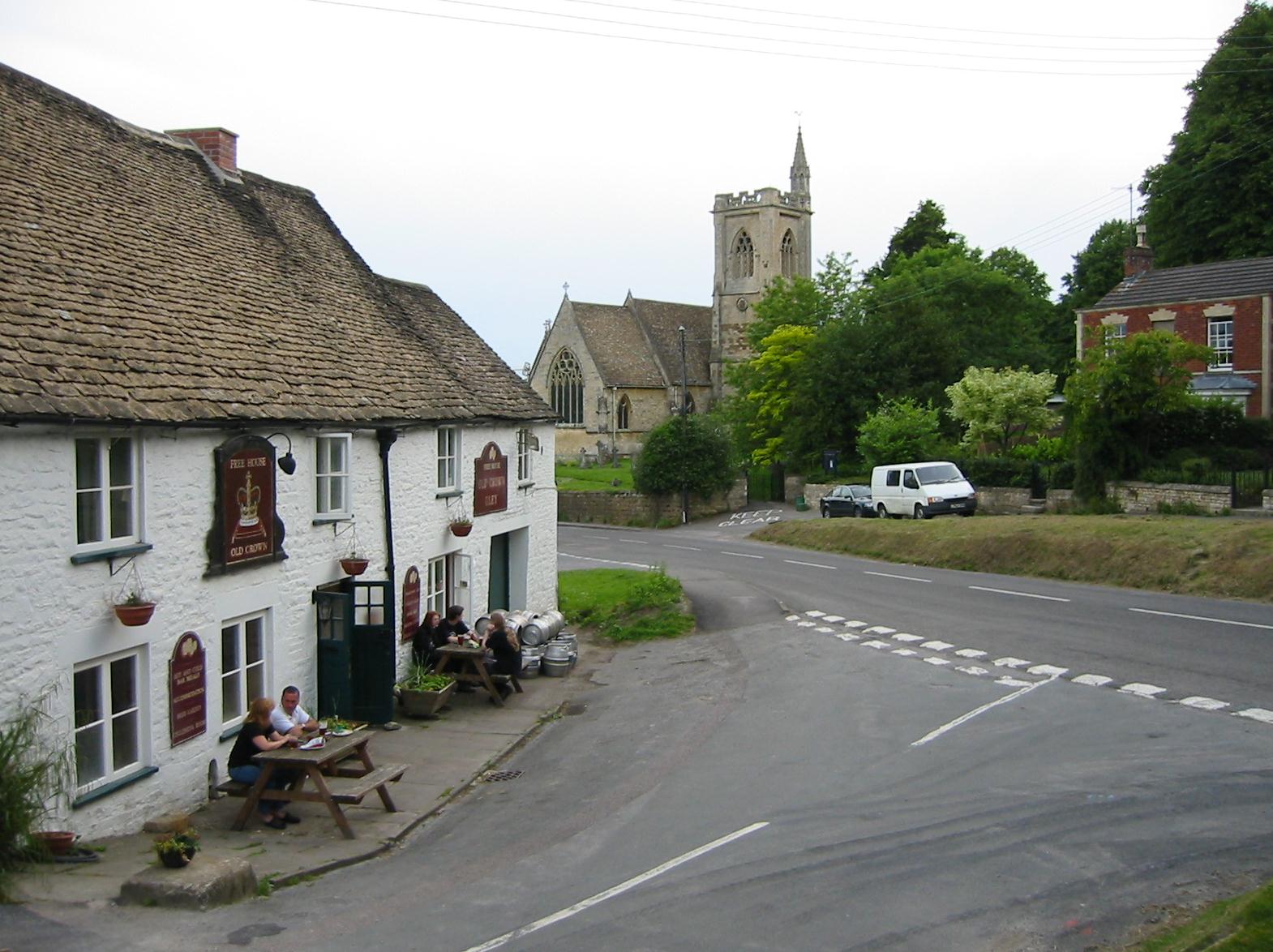
After our baths Jeff Bevan put us in his car for a circuit of the hill whose flat top we had earlier visited, pulling up (after several face-offs on the narrow roads which were being dug up by the water authorities) at the Old Crown in Uley itself. Here we had drinks at a nice local (I now switched to lager and Tosh had some Pig’s Ear from the local Uley brewery) and our evening meal. I had a very nice chicken curry. The new mobile phone wouldn’t pick up a signal in these hills and the pay phone twice made a connection with Dorothy but rejected all my coins, so I had to give up. There was still some light in the sky (we had evidently missed a grand sunset on the other side of the hill) as we waited for Jeff to return. I told him that I had actually met Hannah Hauxwell, who was featured in two of the books in my bedroom, while walking the Pennine Way.
I tried to read when we returned at 10:00 or so but I was fighting a losing battle and was soon fast asleep.
To continue with our next stage you need:


