August 7, 2002: Nether Wasdale to Buttermere
We had breakfast at 8:30. I had some grapefruit segments and some cereal before making an attempt on the full English. We were all packed, so it didn’t take long for me to pay up (using a credit card), and for our boots to be retrieved. We donned these muddy appendages outside and at 9:15 we were off. I was happy to get away so early because I knew we had a long and difficult day – indeed I was anticipating the most strenuous day of our trip today.
The weather was not promising. Low clouds covered the adjacent hills and mist hid the mountaintops to the east. It was a very lovely and mysterious scene, but not exactly a comforting prospect for walkers heading into the grey wilderness. We followed tarmac for a while – I had to take off my pack for a moment at Cinderdale Bridge in order to retie my shoes and to get rid of an offending stone. Then we located a track that we followed to Easthwaite Farm. Gavan utilized this early stage of the journey to give me all the details of his battle with the seminary; he was obviously embittered by the hierarchy’s dishonesty in its attitudes toward homosexuality and very much aggrieved that he had been singled out for approaching the topic in a forthright fashion. To be frank, he was depressed – not knowing where his life’s path might take him now. I suppose our expedition was a useful diversion under such circumstances, but you could tell that his mind was often elsewhere. This somewhat dampened the mood of the entire venture. In the end, he vowed that he would go public with his unhappiness and the matter soon made the front page of the Boston Globe, where it can still be viewed on the Internet.
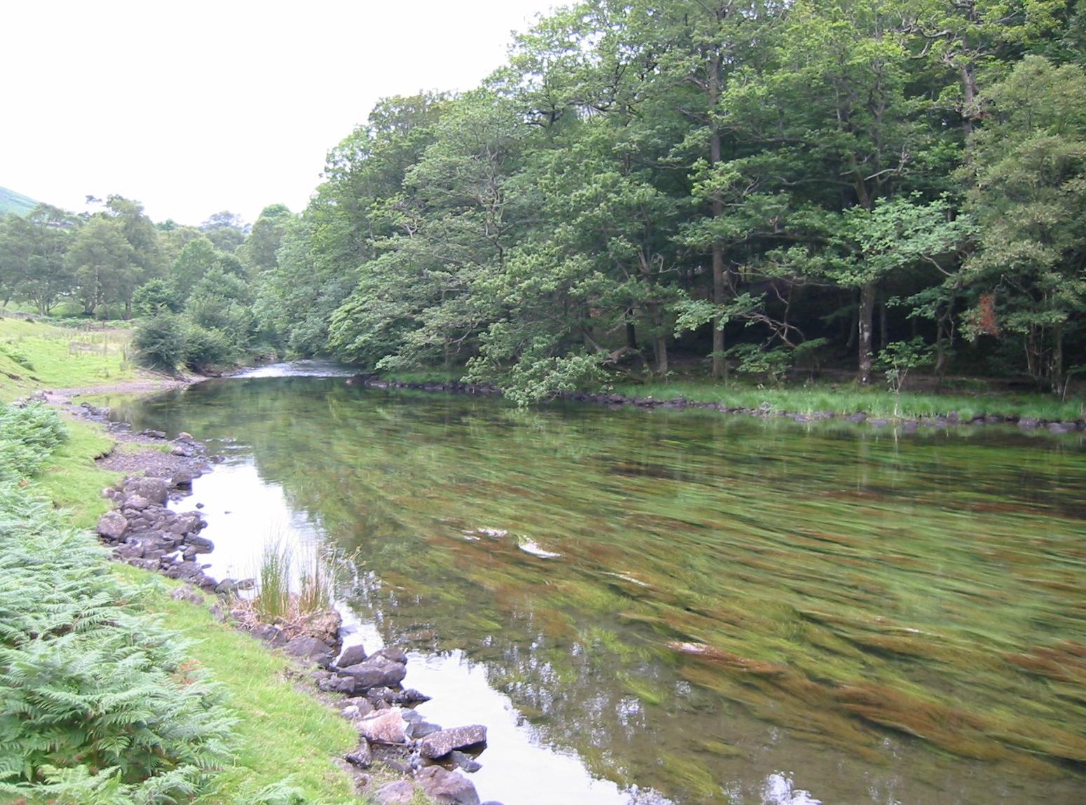
I do not blame his preoccupation with these matters, however, for our failure to take a left turn soon after Easthwaite Farm. I was on the lookout for a path down to Lund Bridge but no such route was signed and, instead, walkers seemed to be encouraged to continue forward on our track in the direction of the shores of Wastwater itself. The scene was very beautiful, with the weedy outflow of the River Irt on our left, but it was soon clear that we were on a path that continued along the south-eastern shore of the lake, a notoriously difficult scree path, whereas we were meant to be on the highway side.
So, not finding a needed bridge over the river, we had to turn around. We found a path down to the riverside and continued to backtrack for some distance before finding the Lund Bridge. The mistake added half a mile to our journey and made me very cross, since I knew we should have been making fast progress at this stage of our day. We walked on paths through Low Wood, emerging at last onto the shore of the lake, but here something happened that added to my unease – it began to rain!
Gavan wanted to use the loos at the Wasdale Hall Youth Hostel and while he did this I buried the camera in my pack and donned my wet gear. Then we climbed up to the highway and began the long trek to Wasdale Head in a steady, if light rain. Visibility was good, as long as you were content with ground level vistas. The tops of the famous scree slopes across the lake were hidden in mist.
I now took the lead for a corking charge along the tarmac, attempting to make up for lost time. Gavan was quite amazed by my pace but I suppose I was also looking forward to the dry comforts of a pub lunch. There was a good deal of traffic for such a remote valley but we didn’t get splashed too often. It was impossible to go off route, but we paused once to check our progress on the map, not wanting to miss a critical turnoff. A postman in his red van seemed to have paused to deliver mail to the lakeside sheep. The route wound up and down but these gradients were never sustained for long and we made good time.

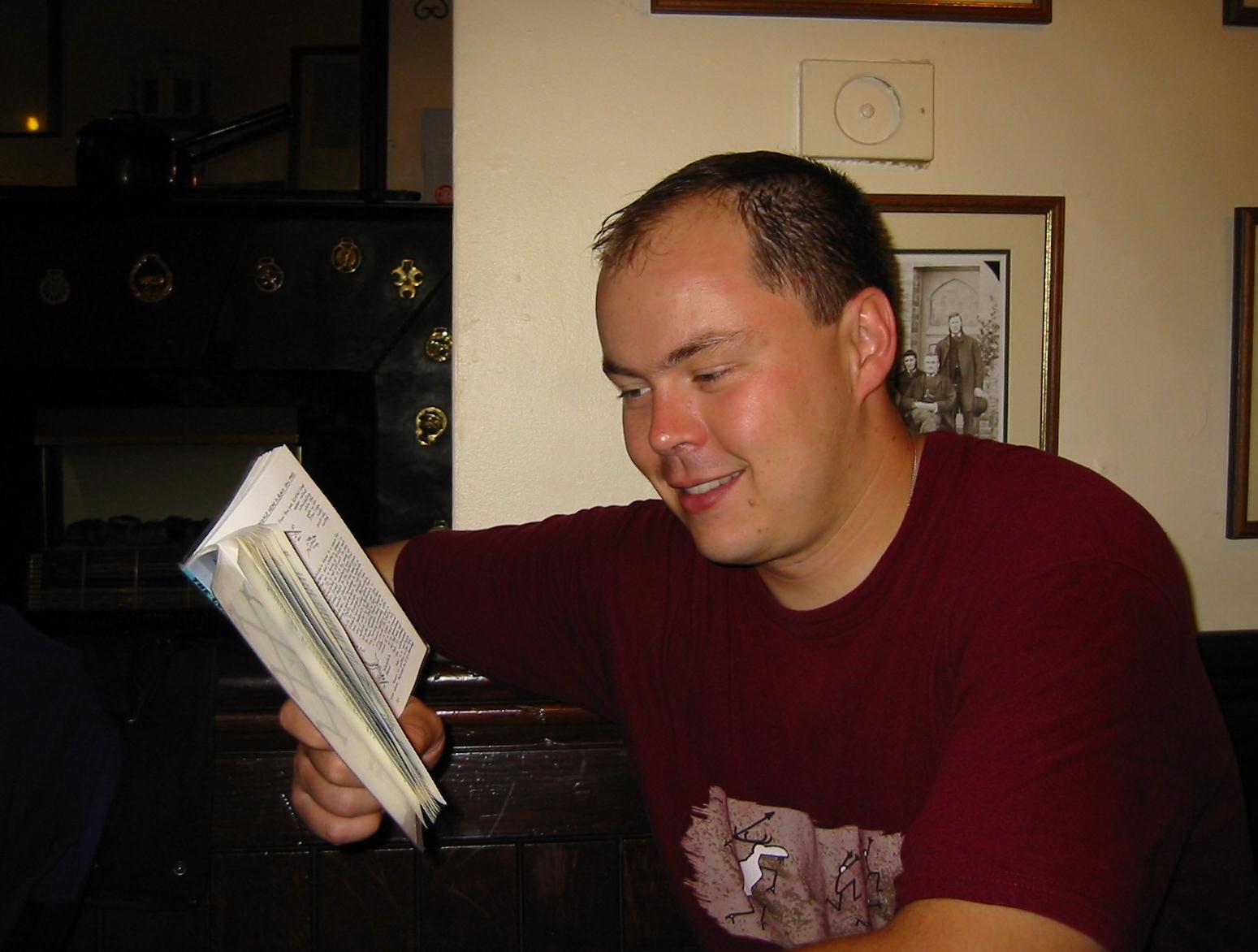
Gavan studies Hannon’s guidebook at the Wasdale Head Inn. I used a version of this photo in A Walker’s Alphabet.
The lake was left behind and we continued up Mosedale, on a thin path again, eventually passing the Wasdale Head Inn opposite (its huge “Inn,” in black paint, serving as a welcoming beacon) and crossing Mosedale Beck on a footbridge to reach its precincts. The rain was beginning to ease up as we entered this home base for the climbing fraternity at 12:15. We had already covered seven miles in three hours, a pace we would never achieve again. The pub had a limited selection of hot food; I had a dry and unspicy chili and drank a pint of lager. Gavan had a pork and ale pie and several pints of the local brew, Wasd’ale. We were pretty damp but it was warm inside the pub – though builders were making a racket with their drills. I went outside to finish my first digital flash card (13 shots) and inserted a much more memorable 50-shot successor.
We were only seated for some forty-five minutes and at 1:15 we put on our wet gear and headed north up Mosedale Beck again. This was a very good path, our first close acquaintanceship with the fellside. Mist still obscured the upper elevations but we escaped further moisture for some time. There were quite a few other walkers about, some passing us on the ascent, others striding down and even some cyclists wheeling down the hill as well – naturally I disapproved of the latter, who have plenty or roads at their disposal.
After a mile or so the path began to climb in earnest toward Gatherstone Beck but when we had crossed this there was a surprise. A splendid large rock slab pavement had been installed, somewhat reminiscent of the path across the North York Moors, and we could utilize this to complete the steepest and longest ascent of the trip. All was not smooth sailing – for the stones were slippery in the wet, a light rain began again, and it took a lot of effort to make much progress – but at last we rounded a corner and the summit cairn of Black Sail Pass came into view.
Ahead of us we could catch the occasional view of Ennerdale, far below, but there were several paths to choose from and I was a bit anxious, lest we take the wrong one. Here I got my compass out and before long we were clearly heading in the right direction, steeply down to a bridge over the River Liza, with the Black Sail Youth Hostel in clear view. When we had concluded our steep descent to this refuge we had a rest on a bench outside the hostel (where we could hear an American voice inside) and then we headed up to the edge of the forestry plantation to begin our ascent to Scarth Gap. Here we were in for another big shock.
Harvesting was taking place on the hillside adjacent to the route and the foresters had decided to close our footpath! There was a suggested alternative, but this would have involved several more miles and it was already nearing 5:00. I was desolated – for there seemed to be no way to reach Buttermere in the remaining daylight and we were already very tired. Gavan studied the warning signs closely (there was ribbon stretched across the trail at several points) and announced, “Fuck it, I say we use the path anyway.”
Reluctantly I agreed and so we ducked beneath the ribbon and headed quickly up the hill. The only sign of forestry activity was a distant tractor off to our left; most of the trailside trees had been harvested already. Of course I expected the hot breath of the forestry police on my collar at any moment, but the tractor driver – who must have seen us – was not about to chase us uphill and in the event there was no intervention. We were soon above the forest anyway and there was only a short distance to go to reach Scarth Gap. We began to breathe more easily. A last bit of ribbon barred the way for those wishing to descend the path, though this was well below the pass – which, we could now see, itself bore no warning for the unsuspecting walker at all. Gavan took my picture here and this shot served as the desktop image on Dorothy’s computer for some time.
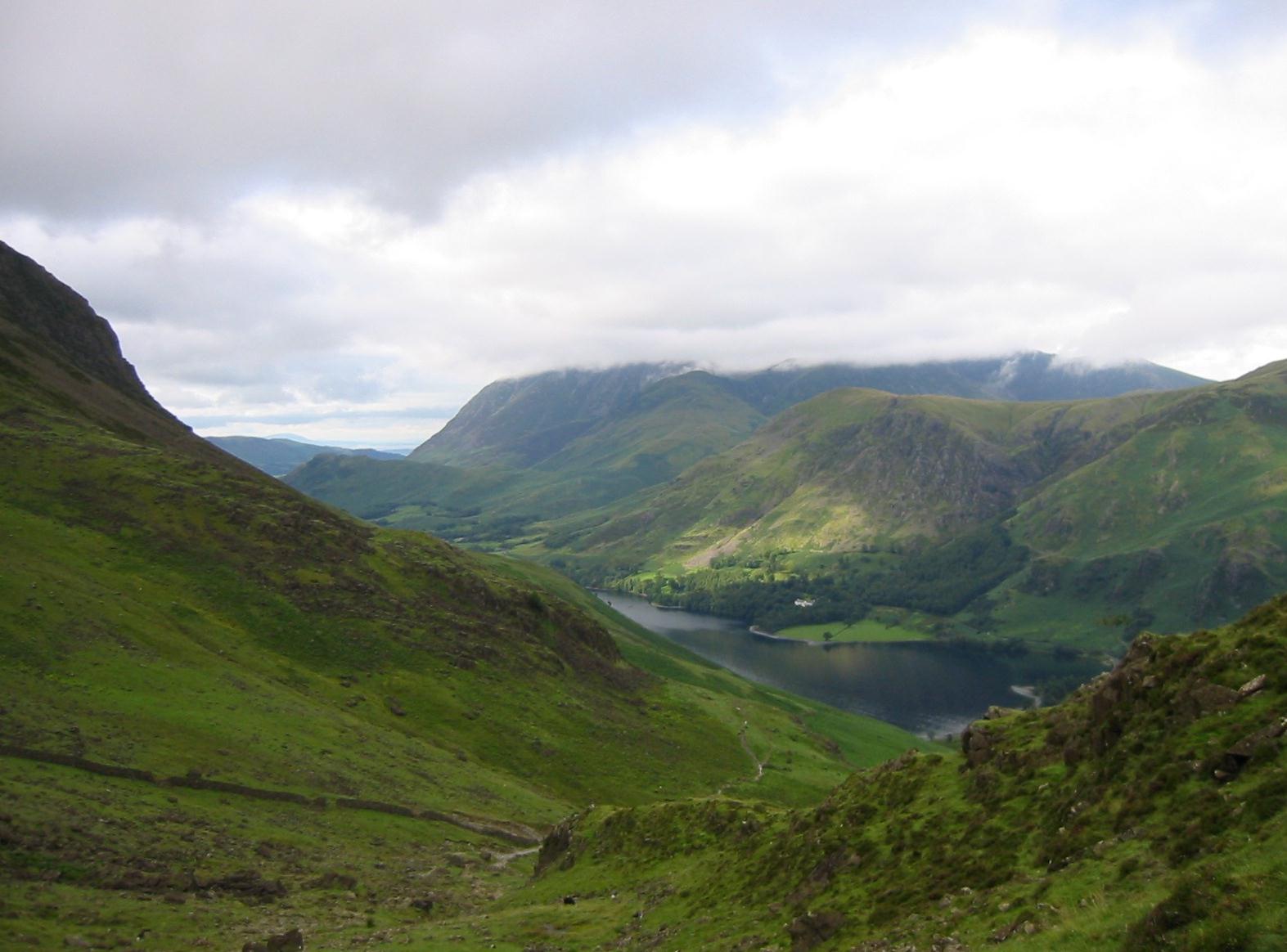
All this time the weather had been improving and at the pass we began to obtain wonderful views, even with a little sunlight thrown in on distant hillsides, of Buttermere itself. This was a familiar scene for me – since The Lees and the Linicks, after climbing Haystacks, had once made this same descent. In particular I got a real lump in my throat when I remembered the bravery and panache of our dog Toby, who flattened the miles on this route so many years ago.
I think both Gavan and I would have appreciated four feet today – for the descent to lakeside was much more rocky and prolonged than I remembered. I took it all very gingerly and found it to be very uncomfortable. Gavan was more forthright in his approach and later paid the price with a knee strain.
We never seemed to get any closer to the bottom but, of course, we did – at last reaching the wide and comfortable lakeside paths that we now took in a northwesterly direction. We were both footsore as we trudged up and down (once again there were lots of other people about) in the shadows of the woods. I was also very thirsty and eventually I just added my canteen to the pocket of my rain jacket, taking little sips as we moved slowly along. The jacket was often worn on this trip; if you took it off after a soaking or after prolonged perspiration you were left with a damp t-shirt that was chilling. There were several gates here and, though far fewer than yesterday, gates again enjoyed a considerable victory over stiles.
We cleared the end of the lake and followed twisting tracks up to the Fish Hotel, where Gavan discovered they served food until 9:00. At the Bridge Hotel I asked for directions to our b&b, which I knew was nearby, and one of the Bridge ladies described the route for me. This involved one last steep hill but at 7:40 our fourteen-mile ordeal was over.
Mrs. Knight answered our ring and asked us to take our boots off. Fair enough, but there was no place to sit down to accomplish this operation and in sitting on her porch I rocked back and displaced a flowerpot. Mrs. Knight warned us about knocking the pictures that lined her walls (lions being a favorite topic, I recall) as we climbed a set of stairs. Our room was very simple and toilet and shower were across the hall. In this case, because it was so late, we just changed clothes and headed back to the hotels.
In fact we didn’t make it back to the Fish, tempted instead by the fare offered in the Walkers Bar of the Bridge. Gavan ordered the local trout and I the scampi and chips. For some reason my walking partner used this time to call in birthday wishes to a friend in New York and this meant that for some minutes I had only the company of his lonely trout. I was almost too tired to eat and left half of my dinner (well, Gavan ate some of the scampi). We had a booth that backed up to the bar itself – and this meant that we didn’t even have to get up to order drinks. Before we left I bought us two small bottles of mineral water with screw tops – to supplement our water supply.
At about 9:30 we climbed the hill again and used our key to enter our b&b. We went to bed by 10:00 but I had trouble falling asleep and at one point got up to fetch an extra pillow, pop some Tums into my mouth, and swallow a sleeping pill. The day had been a great triumph for the duo – studs and rebels.
To continue with our next stage you need:


