
August 21, 2001: Petts Wood to Hayes
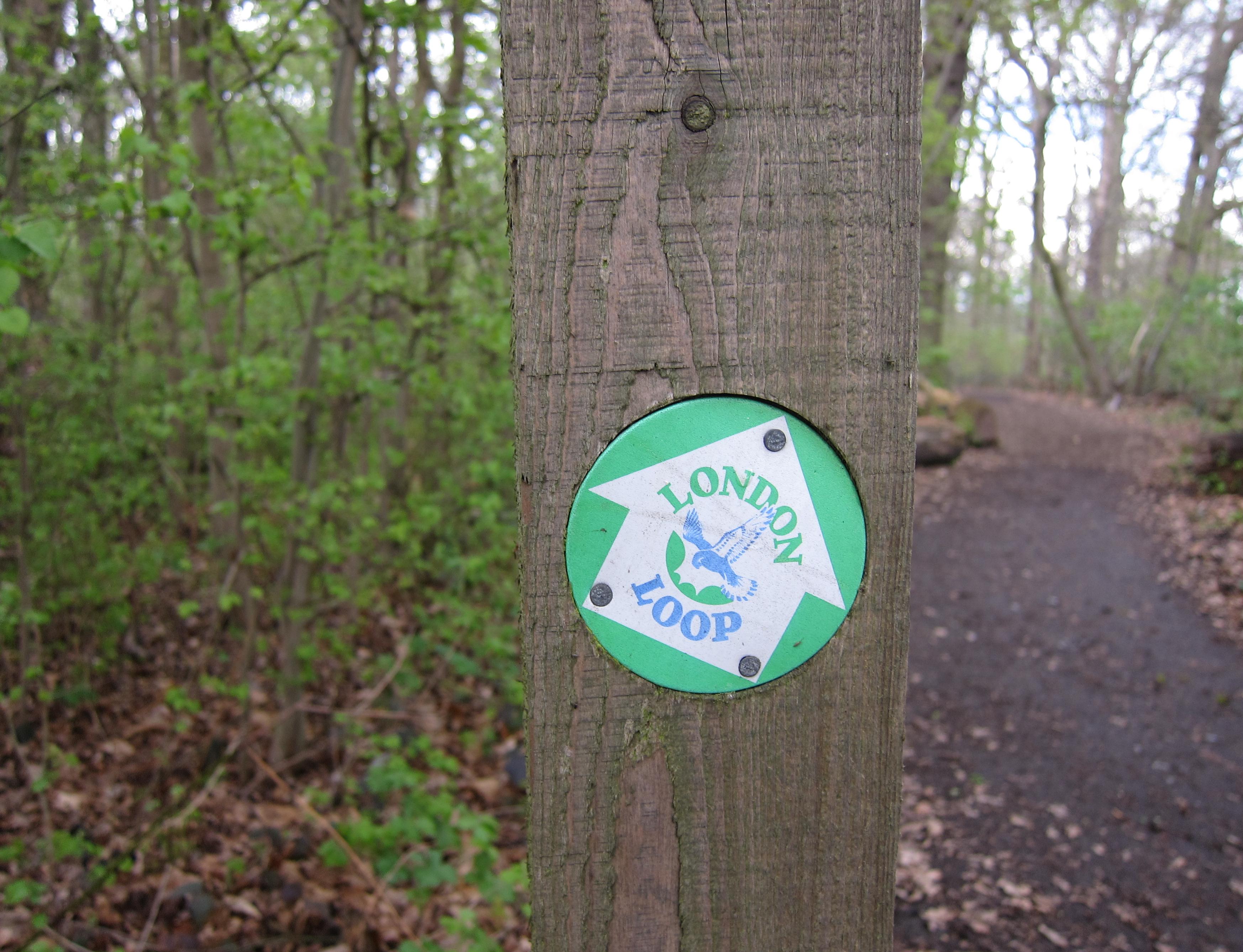
An assurance that you are not lost…a LOOP waymark points the way.
Tosh made her return to the trail today but it was a time of testing for her – following the fall that had prevented her from accompanying Harold and me on our walk on the Isle of Wight Coastal Path (a route concluded just fifteen days earlier). She still had a lot of trouble sitting and so she wanted the shortest possible train ride; also she was taking Harold out for dinner on our return –for this was his 68th birthday.
We agreed, therefore, to enter the underground system at 9:30, when my travel card and their freedom passes would be valid, and to meet at 10:20 at London Bridge. We were both early. It had been a long time since I had been in this station, now quite modernized, and we spent some time choosing where to spend our coffee money. I had a cappuccino and bought some snacks. We were waiting for the 10:33, but it didn’t appear on the notice board and I was getting the wind up. Finally it dawned on me that perhaps I had better look at the entrance to a second set of platforms, and here at last I found some reference to the train I wanted. This was a crazy system.
There were lots of trains running late this morning but ours was only two minutes behind schedule and we were soon aboard for a journey of only about 25 minutes. This was filled with school gossip (by me) for I had been shoving books around for the new term (with some cost to my back) for the last week or so. This, however, was better than being at home, where painters were working in our bedroom.
The weather was lovely, sunny but not too hot, when we began our walk from Petts Wood Station at 11:00. I paused once to get out my maps and again, when we reached the high street, to put on my white cap. We had no trouble retracing our route up to Tent Peg Lane and, after passing through a parking lot and rejoining a woodland path, we were at the corner where we had departed this route just a few weeks earlier.
We headed southwest along the borders of Jubilee Country Park (if only I had taken a cab back to this spot – I would have had, at last, a point or origin place name beginning with the letter J). There was a little guesswork when paths divided (again many of the new LOOP signs having been destroyed already by vandals) but we persisted in the direction of a school and here, just at the park exit, Tosh reached her 2000th mile. I had brought the camera with me (strangely positioned at shot number one, though I knew I must be nearer number twenty), and I took a couple of pictures on spec. They didn’t come out.
Then we crossed a very busy Southbarrow Lane. We continued along suburban streets, without any change of direction – Tosh pausing every now and then to exchange a word with the other gardeners. We were pursued by a garbage truck and an old folks bus as we made our way down the pavement. Oxhawth Crescent was followed by Faringdon Avenue and when this came to an end we turned left on a lovely path (though heading east) through Crofton Wood. We were assisted by some yellow topped posts but, after crossing a little stream and reaching an open glade, I came to the conclusion that Sharp’s instructions were more useful on the ground if you ignored the yellow lines on the OS map in his book – which seemed to miss a few of the twists and turns he was describing. Eventually we reached a wide track and turned south again, accompanied by a stream as we made our way through a vehicle barrier and down to the A232 in Crofton.
There was a village sign here (Hadrian was included) and we could see our continuation across another hazardous street. The way forward on the other side was behind garden fences and then forward along more suburban streets (including a crossing of Lovibonds Avenue) as we searched out a turnoff for Farnborough. This soon led us back into trees as the path climbed gently up into Derrick Wood.
A lady with a dog leash, descending, had to explain, almost apologetically, that she had started her walk with a dog but he was having the time of his life in the undergrowth and was nowhere to be seen. She called him (no response) but as we continued uphill a Labrador broke from the bushes and dashed downhill on our path. “Here he comes,” I shouted.
We turned left at the top and followed a grassy track next to a playing field, emerging at a hilltop crest with a wonderful panoramic view to the south. The route dropped down to a bench and here we were invited to use the middle of three mown paths down the hillside. This seemed easy enough and Harold was insistent that he had chosen the right route, but I noticed, as I followed on, that another path was now visible to our right and that the one we were using was no longer in the middle. I should have used my compass here; there was a LOOP sign but it had been surgically excised by some cretin. Sharp might not have had complete confidence in his directions because he had written – “If you’ve chosen right, you will come to steps and a fenced causeway leading out to the main road, the A21.”
Near the bottom of our path (no steps, no causeway) we did see a fox sitting in the path and we did emerge on a busy road – but the continuation forward was not visible across the street. With the aid of the OS map I realized we had come down in a southeasterly rather than a south-westerly direction and that we were facing the wrong road. Not to worry, all we had to do was turn to our right, reach a roundabout (where Tosh took exception to the dust being raised by some workmen) and turn right. Within a short distance we had reached the proper exit from this hillside and could now cross the A21 in two stages) in order to continue forward, first on a footpath and then on Gladstone Road into Farnborough.
There were two local pubs but we thought the first, the George, looked a bit posh, so we persisted around a corner and at 12:50 entered the precincts of the Change of Horses. I had a Diet Coke with my fish and chips; Harold had the steak and kidney pie and Tosh ate a quiche. This was a friendly establishment and we were quite comfortable in our corner. Harold and I took the legs off our trousers at this point and after less than an hour (having covered less that four miles) we were ready to resume.
This required us to cross the street and return to the junction with Church Street; we passed a few more shops and then found ourselves on a rising pavement that abandoned the street and turned into the lych gate of St. Giles the Abbott. This flint-covered church had many quite ancient features and it was set in a lovely churchyard with a gigantic yew and rows of tombstones descending the hill to the south. This was our line of march too and we were soon at our next LOOP sign.
It seemed to be pointing half left and we followed this suggestion on a broad track that entered woodland and continued in a southerly direction. But I noticed that both the OS map and the guidebook position the route in an open field just outside the woods. This is why I was not surprised when, after we had passed several memorials to the Lubbock family, we reached a roadway, that – once again – seemed to be missing the desired continuation across the street. We therefore turned back into the woods and followed a path parallel to the road, soon recovering our path and crossing the road to reach a path into the parking lot of the High Elms Estate.
Bromley Council now owns this interesting parkland and it was being well used by the local population on this fine sunny August afternoon. The Lees seemed tempted by the ice cream van in the parking lot but we persisted uphill (against the flow of kids on skateboards) so that we could have a look at an Eton Fives Court and Tosh could use the loo. Sir John William Lubbock the Second had started a collection of international trees on these grounds and there were many fine specimens.
We continued uphill and crossed a garden terrace, then descended between two lines of tall hedges to a golf course car park and out to a lane. We crossed this and took to a path through an old orchard that paralleled the road in a southwesterly direction, soon drawing opposite the High Elms Clockhouse tower. Here I was able to announce that I had reached mile 3300 of my British walking career.
Our route now took a sharp turn to the right and climbed up to cross the golf course and, at the top, down again to join another country lane. We turned left on this narrow surface and continued in our southwesterly direction for several hundred yards (there were no cars, fortunately). Then we turned to our right again to follow an ancient trackway called Bogey Lane. The lane is evidently quite muddy at times and steps soon led up to a path that followed a field edge on the left side of a sunken trackway. The vast field on our left had been recently ploughed – we seemed to be a long way from suburban London. Our ascent continued for some time (there was more up and down today than on the two previous stages), though eventually steps brought us back to the track and we reached a turnoff onto a hedged lane that continued forward to Farthing Street. Just at this junction I discovered on the ground a map to the water ski areas of Padstow Harbor!
We turned right on Farthing Street and used its paved surface and that of Shire Lane to descend steeply to a valley bottom bearing a much busier roadway. To help walkers escape the traffic a parallel path, heading south, had been created just inside the fence, but I could have lived without this help for the path was nettle-choked and Harold and I, now in shorts, suffered a good deal. Every time you thought you had gotten through the worst of it (I was using the map case to deflect the plants whenever possible) a new patch would appear.
We had some water at the end and turned right to face Holwood House, the home of the younger William Pitt, high on the hillside above us. Then there was another stretch of nettles before we reached a cleared pathway that climbed steeply up the hill. A highlight of this passage was a memorial bench (near the long gone Wilberforce Oak) marking the spot where Wilberforce and Pitt discussed Parliamentary legislation that would end the slave trade.
Our path now dropped down to a busy road and on the opposite side we turned right to enter Keston Common. There were lots of people here too. Tosh was delighted with Caesar’s Well, a spring encased in brickwork, here bubbling from the ground to serve as the source of the River Ravensbourne. A series of ponds followed and we crossed over to the other side between ponds one and two, dodging fishermen sitting idly next to their poles. At the end of pond two the Lees bought ice creams from another van (with the usual palaver over their accents and origins).
We crossed a road and continued by the side of a third pond, finding three young people sitting at the end. They said it was a nice day for a ramble but I couldn’t tell if this was said with sincerity or mockery. We now re-entered woodland (it was often so dark I had to take my sunglasses off) emerging into suburbia again on Lakes Road (which even had a Rover showroom). Our goal was another pub, the Fox in Keston, and at a 4:00 we spotted it. I had another Diet Coke, joined in this choice by Harold. Tosh had a mineral water. The Lees were charmed by this traditionally shabby enterprise, particularly because the mantle piece had old books and a bust of Wagner.
We weren’t in the Fox long (I had promised only about another hour of walking) and off we went at about 4:15, crossing Fox Lane and turning left at a roundabout to follow another path just inside a wood. We continued west for quite a distance, using woodland paths that kept us away from the traffic and offered us occasional views of suburbia sprawling below our escarpment. There were several Corporation of London boards about but LOOP signs had all disappeared (or had not been installed yet) and we missed a turnoff, keeping to the main path and disdaining an offshoot that must have been the one we were supposed to take.
Our path twisted to the north and put us out on a busy road, the A232 again. I could see on the OS map where we were and there were good paths at the edge of the wood to keep us from the cars – so we turned left and descended with the road to a junction with Gates Green Road. Here I could see the LOOP rejoining us but, in any event, it was time to abandon this route for the day and head off to the train station in Hayes.
This required a patient crossing of the A232 and a turn back uphill on the opposite side. Here we discovered a fenced tarmac lane, Pole Cat Alley, which rose and fell a number or times as it made its way behind houses over to Hayes. We turned left on Station Hill and descended to the town center, where we could see the station entrance in the middle of a line of shops. We had walked ten miles.
I had a quick look at the TV monitor – which indicated that there was a 5:16 train leaving for Charing Cross. There it was on platform 1 and it was 5:16! Indeed, as we approached the closest car the beeping started and the doors began to close with only Tosh aboard. Harold forced them open again and he and I scrambled aboard. In the entire 30 minute ride to CC there was only one other person in our carriage. (No one ever looked at our tickets today.)
When we entered the underground at Charing Cross the Lees soon discovered that the stretches of the Piccadilly Line they needed to use out west were closed and there was a conference among Indian attendants using walkie talkies in order to produce an alternative route for them. In the event they had to take a Northern Line train down to Embankment, so we said goodbye.
I rode home in some discomfort – it was steaming inside the tube and the middle toe on my left foot was beginning a protracted protest.
To continue with the next stage of our walk you need: