
June 26, 1990: Knockree Youth Hostel to Roundwood
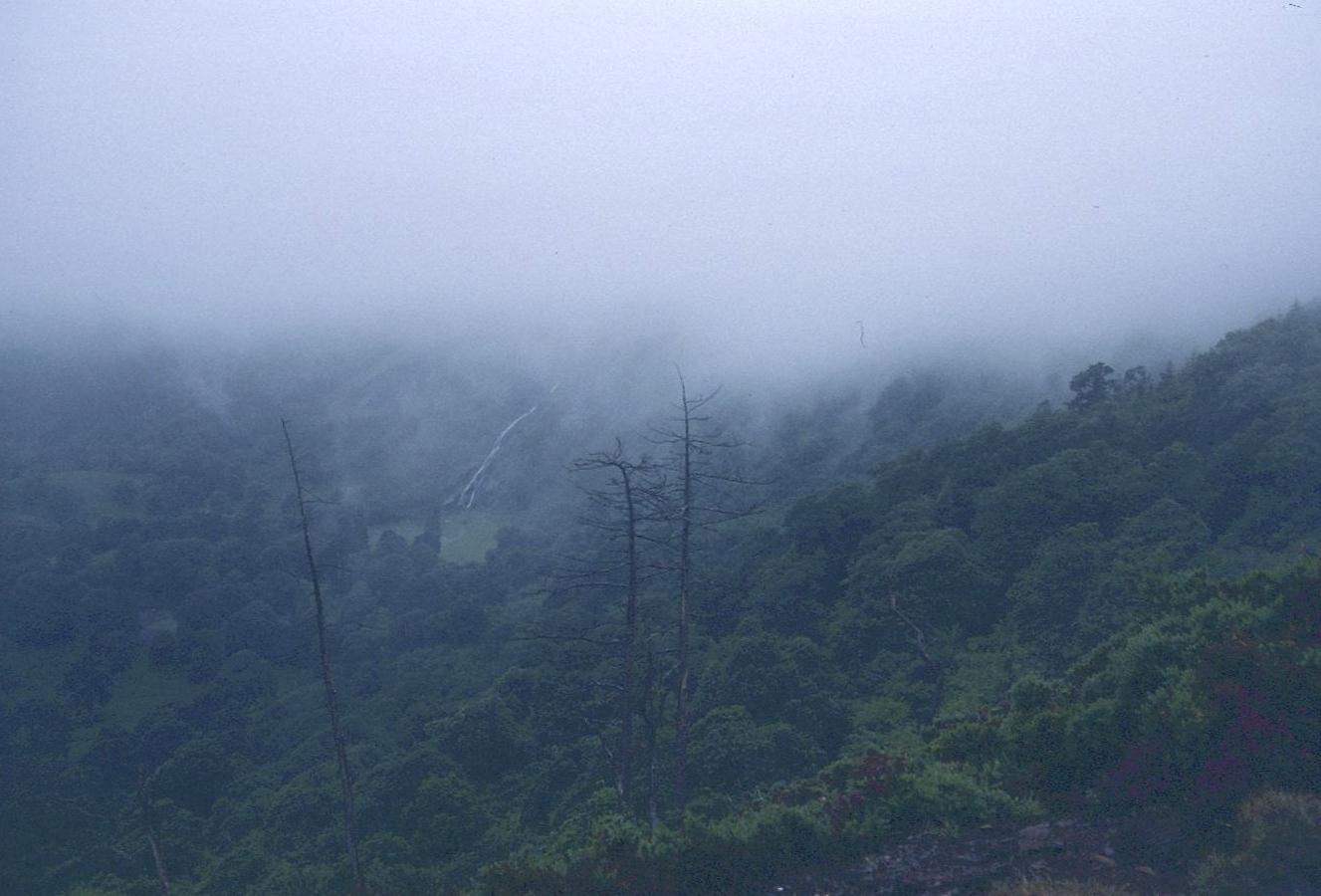
Hidden in the mist – Powerscourt Waterfall
The mist that had descended on us at the end of the previous day seemed not to have budged at all as we awoke on the morning of Tuesday, June 26th. It was too dark in the washroom for a shave but I had enough to keep me occupied in stuffing everything back into my pinched pack. At 8:00 we rendezvoused in the kitchen, where Gavan and I made toast and Elizabeth used the rest of our bread to make sandwiches from the supplies we had bought two days earlier in Dublin. Fortunately our early rising got us through our kitchen chores before the Vikings arrived.
We were in full raingear when we departed Knockree at 9:13. It didn’t take us long to reach our turn off down to the Glencree River but I was soon confused by Malone’s sketch map, which shows an abbreviated version of what turned out to be a long straightaway. Expecting a series of zigzags, I tried a left turn much too soon – but when it was obvious that our forest track was doubling back beneath the hostel we had to climb back up to our original road and continue diagonally downward; the promised zigzags appeared only at the end of this road. Soon we were standing in the sand at the edge of the river; there was no sign of the footbridge that used to span the Glencree.
I took a picture of Elizabeth using the rocks to ford the stream, losing for a while my lens cap in the gap between my trousers and my rain pants. Gavan, first across, reported the sighting of an arrow, and this directed us to the start of a narrow woodland trod heading uphill on boggy surfaces. After a while we lost any evidence of a path and I found myself hopping from one ferny boulder to the next up what looked like an old streambed. Elizabeth backtracked a bit to see if there was anything better on our right but she had no luck. So we persevered uphill and after the rockfall a path appeared again to lead up to a tarmac road. I had not been too worried about this stretch, having remembered that Michael Fewer in his The Wicklow Way reported that he had never found the same path going uphill on this stretch either.
Fortunately we were only a few feet away from the continuation of our route, which began at a stile near a lone cypress tree. The path climbed steeply uphill and emerged from woodland as we reached a forest track heading east. This we followed for some distance, the mist as thick as ever, with the only other evidence of life being a forestry worker in a yellow mac who sped by us several times on a motorbike. At a fork I made a serious mistake. The forward pointing arrow post was foolishly sited in the center of the fork, instead of being inset unambiguously at the side of the road we should have followed.
I took the right hand or upper road and when it began its zigzags uphill I felt that this was what I wanted. But as we continued steeply uphill I began to become uneasy about the length of this stretch. Although you couldn’t see more than a few yards ahead I could sense that we were on the wrong, west side of the mountain, Maulin, whereas we needed to circumnavigate its eastern side. A road lead in this direction and we tried this for a while. At the side of the road there was a workman’s hut and here we found the motorcycle rider and a co-worker reading their morning papers. They advised us that we had gone wrong at the last arrow and even suggested how we could go straight downhill to rejoin the Way. We weren’t feeling that adventurous so we retraced all that road walking, losing about an hour in the process, and took the left, downhill fork when we got to the bottom.
I was finally reassured when the alternate route from the Crone car park came in on our left. Soon thereafter we were climbing up to the rock face, Ride Rock, that overlooks the deer park of the Powerscourt Estate. It was possible to look down into this landscaped park and even to hear a few cars down there and just once the mist lifted for a moment and gave us the briefest view of the famous Powerscourt waterfall.
Two guys were pushing bicycles along our rocky path as we reached another ambiguous fork near the top of the rise. We elected to use the lower of these alternatives, since we needed to descend to the waterfall’s source, the River Dargle, and after walking down a ride line we emerged at the edge of the woods and continued on a wide track down to the river. It was the first time in hours that I could actually pinpoint our location on the map; this was most gratifying. We scrambled across the river on some rocks and sat down for a brief snack. It was our only sit down rest of the day and it didn’t last long because it was quite chilly and this made stationary periods uncomfortable.
There followed a steep climb uphill, with the crumbling stone wall that marked the boundary of the deer park on our left. When this switched directions from south to east we crossed over to walk inside the wall. We found the gap that
would send us forward onto open moorland and just as we did so the sun came out briefly. We never saw it again while walking on this day but the effects of its rays shining through the mist patches that clung to the northern flanks of Djouce Mountain were quite lovely.
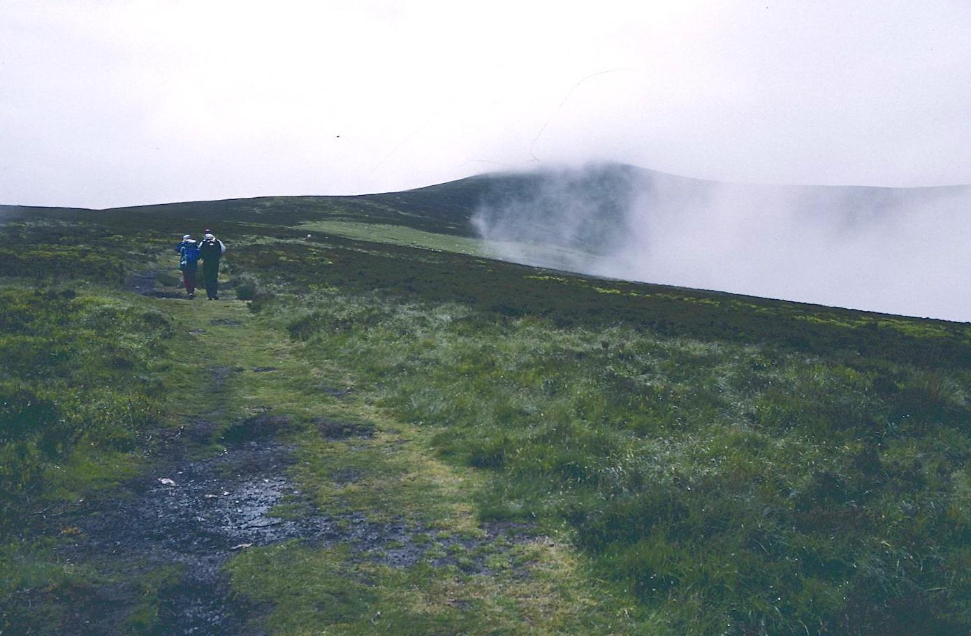
Juicy footing on Djouce
There was a good path forward; it rose at a steady rate, becoming more boggy as we approached the source of the Glasnamullen River, here only a little stream. Once my feet went out from under me and I was lucky not to have incurred an injury – for my right leg was caught beneath me as I fell backward. The chief casualty from this adventure was my rain jacket, which I had tied to the back of my pack; it now bore a peaty stain next to the zipper.
The mist became ever thicker as we climbed to the boggy saddle between Djouce and White Mountain. Fortunately there was a series of iron posts to show us the way through the bog cotton on our ascent of White Mountain itself, one of those rare moments on the Wicklow Way when a summit is actually included on the route.
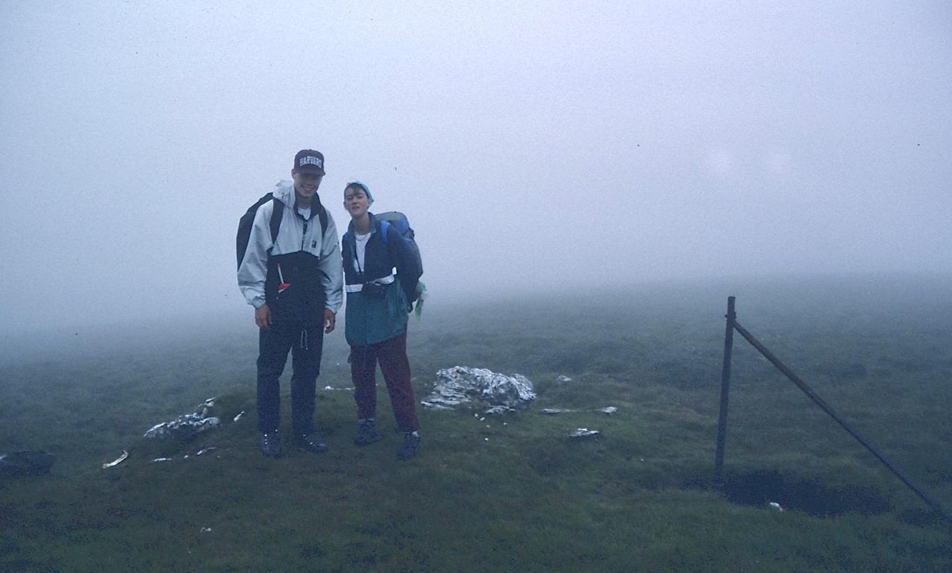
The summit of White Mountain
We began a descent in a southwesterly direction, crossing a stile and continuing forward on an equally wet ridge known as The Barr. Malone’s guidebook had warned us to look for a large rock at the end of the ridge but we were surprised to discover beneath it a memorial tablet to Malone himself, the father of the Wicklow Way.
After a steep descent on a minor path we entered a ride line that was crowded with fallen limbs and difficult to get over. This put us out on a forest road and we used it to make our final descent to the L161 tarmac. The spot was evidently a famous viewpoint but today, of course, Lough Tay lay hidden in mist. This did not stop two carloads of smiling Japanese tourists from taking snapshots of the mist from this spot.
A long tarmac section began as we headed east toward the Roundwood turnoff. The Wicklow Way headed off to pursue a more circuitous and hilly approach to this town and had we been earlier and had there been the likelihood of any views I might have chosen this too, but now it was necessary to get my weary troops back to civilization as soon as possible.
I hopped down off the roadway for a last forest pee shortly before we reached our turnoff at a country crossroads. The village was still two miles away but doggedly we pressed on, getting to town shortly before 6:00. There was a market in “North” Roundwood and Gavan and I left our bags with a tired Elizabeth as we crossed the street to stock up on snacks and newspapers. I also paused briefly to take a picture of a saccharine shrine in the courtyard of the local church. A local eatery boasted “Cold Meals Served All Day.” Then, after passing through “Central” Roundwood, with its pubs and shops, we headed south, enduring close to two miles more of road walking in search of Mrs. Malone’s Ballinacor House in Roundwood “South.” Once an exasperated Gavan knocked on a door to make sure we were on the right track. It was shortly before 7:00 when we were at last able to climb up a side road toward a derelict church and the curving drive of an attractive farmstead where our packs could come off after 18 miles! Surely this was my longest day on the trail since the ascent and descent of Mt. Whitney – back when I was a teenager.
We took off our wet boots and Mrs. Malone showed us to our rooms and our packs were soon exploded as we searched for dryer clothes. Tea and cupcakes were served in the lounge and the sun briefly came out – revealing a lovely view to the west. I stuffed paper in our boots, which had been transferred to the kitchen. Mrs. Malone was suggesting that we could have an evening meal back in town but I replied that we would need a ride if this were so – because there was no way we could add any more miles to those walked already on this marathon day. Fortunately Mrs. Malone’s daughter was driving into town to take part in a debate at the parish hall and there was time for me to sneak into the shower before our 8:00 departure.
Soon we were buckled into the rickety old estate wagon and on our way back to town. Miss Malone, 20, a recent graduate in media studies from Ulster University, was going to debate the effects of television on community life. She told us to look for her around 10:30 and directed us to the Roundwood Inn, where we were offered a nice menu in the annex to the bar. Gavan and I started off with a goulash soup and he followed this with smoked salmon while I ate chicken again. It was good to see Elizabeth tuck into the latter as well. We each had an ice cream dessert and some Harp as well.
Naturally a World Cup game was in progress in the bar and we filtered back in here after our meal. I bought each of us a Bailey’s, which the youngsters had never had before, and we sipped these and watched football for a bit. Regulars came in to greet and tease one another and to bet on various aspects of the game in progress. I was quite weary and wished for something more comfortable to sit on than a bar stool but at last 10:30 rolled around and we were able to locate Miss Malone at the parish hall. Her team had just emerged victorious and she gave us the keys to the car while she said her goodbyes.
We were soon home and quickly into our beds but Gavan wanted to talk and it was some time before I was able to get to sleep.
To continue with the next stage of our walk you need: