
August 2, 2018: Clay Bank to Kildale
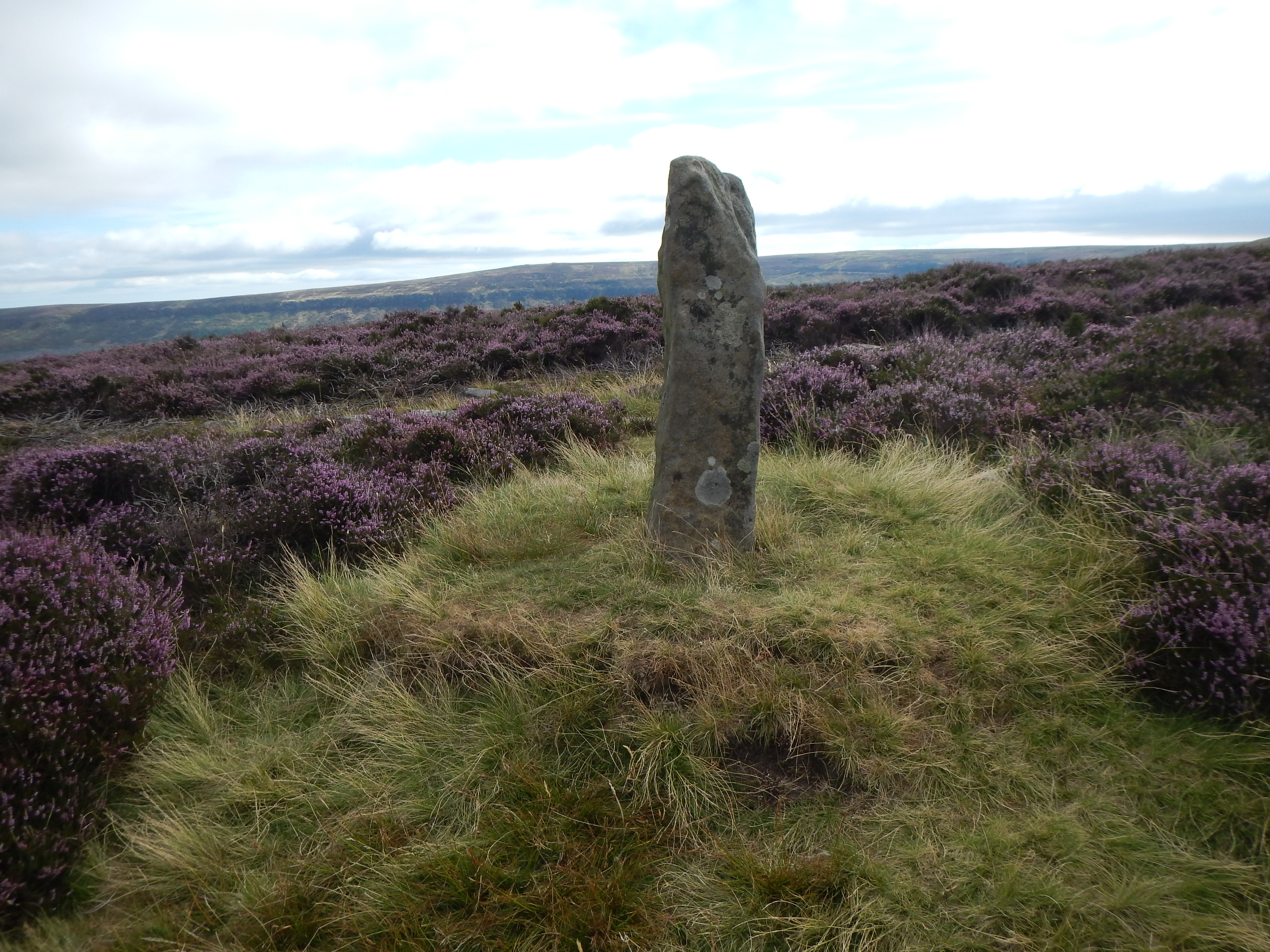
Boundary stone and heather on Urra Moor.
The other couples were already chowing down in the breakfast room of our Kirkby b&b as Gavan and I settled in for our own repast. Dave could now employ a mini-van to transport all of his guests to Clay Bank, keeping up a non-stop commentary on local building projects, planning permissions approved or rejected, and property prices in general. (You could buy a 30-acre dairy farm for less than the value of many a flat in Maida Vale.) By 8:50 we were ready to begin the fifth day of our expedition; the other walkers would not cross our paths again; they were faster than we were (or faster than me, at any rate) and they were walking the Coast-to-Coast Path.
And so began a long and often steep ascent of Urra Moor. We were again offered a highway of embedded of flagstones. This marvel of path construction has as its chief purpose the prevention of erosion – once a serious problem hereabouts – but there is a cost to pay since every step has to be undertaken with the greatest concentration on such a surface. I paused to take a picture of a grove of larches and continued on uphill, soon losing sight of Gavan up ahead of me. Still I soldiered on – once again surprised that I didn’t remember how steep some sections were. Below us on our left we now had improving views of the agricultural valleys and behind us of all the summits reached by Gavan yesterday.
I found my walking partner sprawled on his back on a rare bench near the top of the ascent. A little more of this put us on a much more level track over Urra Moor. The skies were gradually clearing and we were able to make good progress along a route decorated with many boundary stones and other monuments – even a little pond in the heathery moors. Eventually we picked up the trackbed of the old Rosedale Ironstone Railway and reached a famous parting of the ways at the Bloworth Crossing. Here the Coast-to-Coast Path continues its easterly march while the Cleveland Way follows the trackbed in a northerly direction. I would now be entering territory entirely new to me.
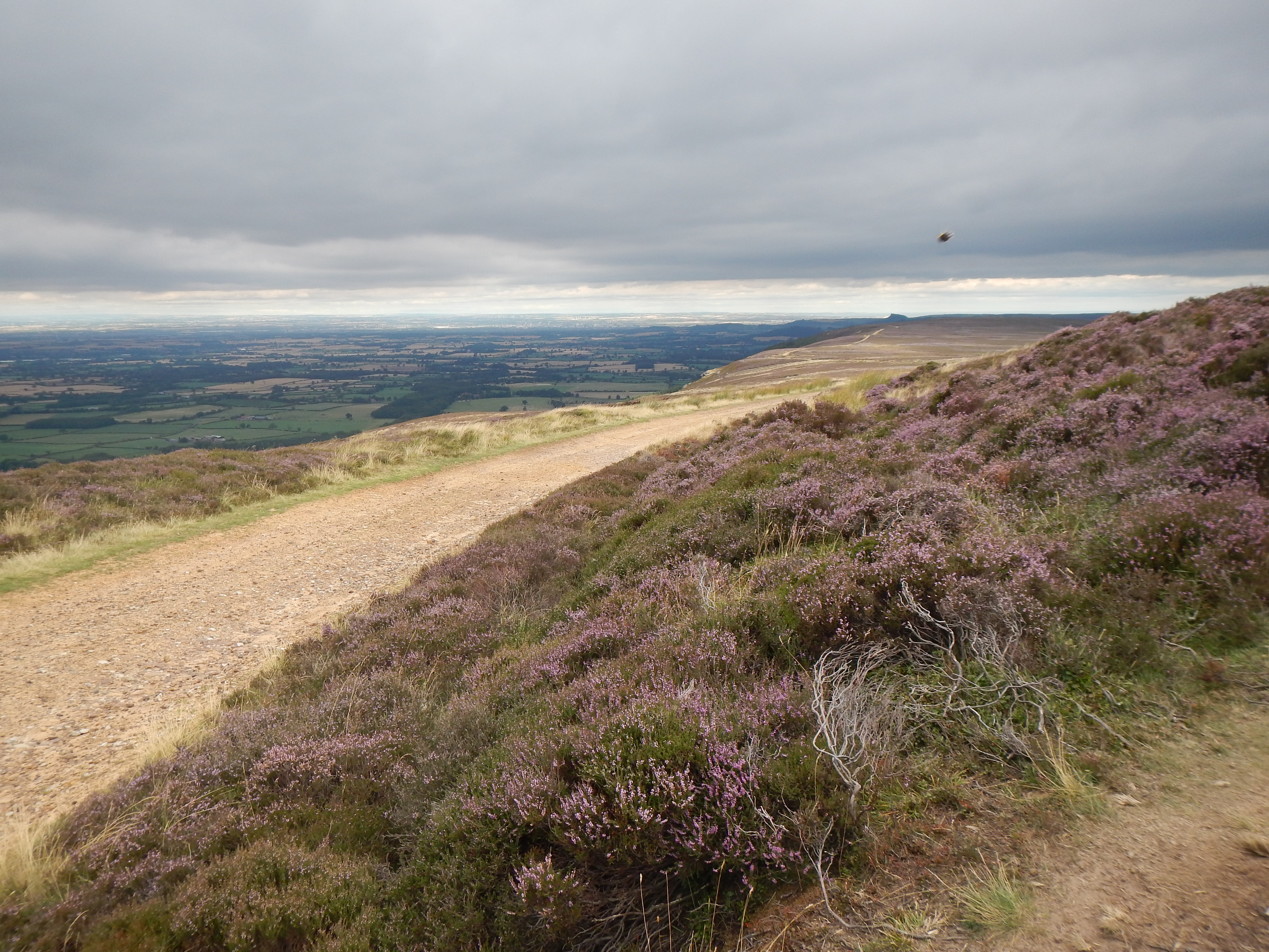
Leaving Bloworth Crossing.
At the Crossing we were overtaken by a party led by a beefy bald shirtless chap – who wanted to interview us on our progress to this point. He asked us if we had stayed with Dave last night, calling him Dave the Rave, and suggesting (as had I) that the Black Swan ought to offer him a commission. The sun was out brightly now but our friend, before continuing on ahead of us, said, “Don’t worry, chaps, it’s all downhill for here on.” Of course he was wrong.
The dusty track we now used for almost five miles, with its gradual ups and downs, resembled our passage along the Drover’s Road but it lacked the latter’s charm. Progress was fairly rapid and views were ever improving – with a wide vista including farms, villages, even distant industrial sites and, directly ahead of us, the wooded heights that offered the dramatic magnet of Captain Cook’s monument.
We ate our packed lunches and trudged on, leaving the moorland and facing an uphill climb in a northeasterly direction to reach a descending roadway. Gavan insisted that the road in question was not on his downloaded map – it wasn’t on the OS map in the guidebook either. Of course I was hearing an echo of that promise of “downhill all the way” as I walked up this new stretch of tarmac. It was a good realization, as was the last hour of our entry into Osmotherley, of what I like to call “The Sting in the Trail.”
Nearing Kildale, the outline of the Captain Cook monument is just visible on the horizon.
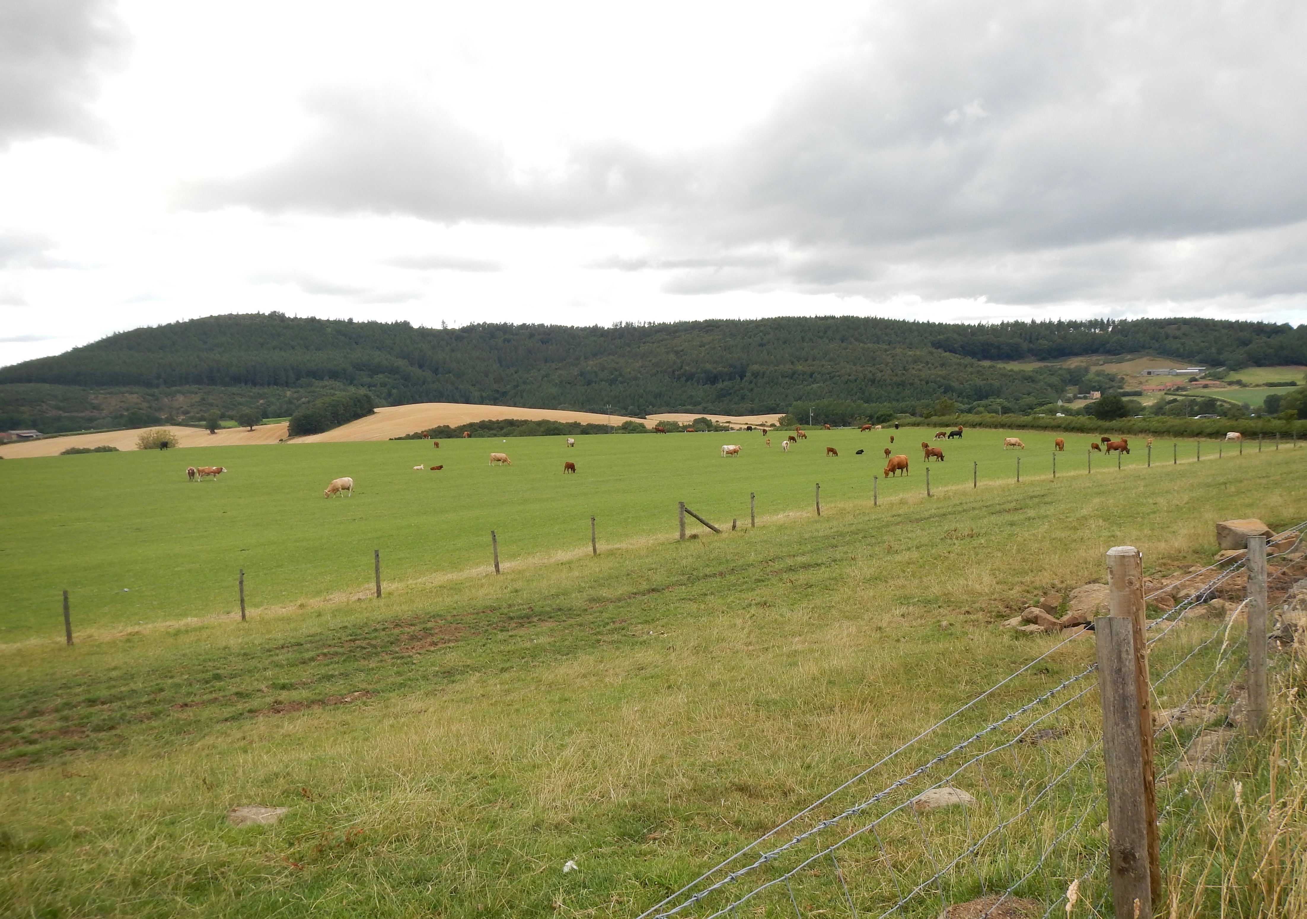
At last we were able to return to a more northerly direction as a road now twisted to the left and began a steep descent to Kildale, tonight’s village. Gradually we left behind some dramatic cliff faces and entered fields full of cattle and sheep. Down on the valley floor itself we were welcomed by a pony club gymkhana. Here we turned right on the highway, soon finding pavements that allowed safe progress through the village.
Gavan had reported that his last email to the proprietor of our Kildale b&b had not been responded to (back in February) so there was just a little anxiety as we set out searching for the Old Rectory. This establishment, with its adjacent tearoom, was soon located, on the CW itself it turned out, and, while we were examining its entrance, our host, Ian, came out to greet us. We were expected and our bags had arrived safely.
Our accommodation was excellent, with a nice comfortable sofa and its own kitchen but there was one small problem. The twin beds were atop a staircase in a kind of sleeping loft and, given all the beer we were consuming, the prospect of finding our way in the darkness for the inevitable midnight pee was a daunting one. Gavan suggested that I should just use a teapot from the kitchen instead of making this perilous journey but, in the end, we left a little light on in the bathroom and I managed the stairs without difficulty. He had picked up a small bottle of whiskey and he now poured us a wee dram. “What a civilized way to end a walk,” I suggested. We had arrived at 3:15 after walking slightly more than nine miles.
Ian, a retired chemist from Cambridge, gave us a choice of pubs for our evening meal. I opted for the one that also had a nearby cash machine and that is why, at 6:00, he drove us to Great Ayton – with its Co-op, its ATM and (another) Royal Oak Pub. In the latter we had a very nice meal and then we wandered about a bit in the vicinity of the town’s handsome green – where there was a statue of the young James Cook. Gavan was disappointed in his attempt to discover if the town loos also had a partner in the third world but he was back in time for a pick-up at 8:00 and a speedy ride back to Kildale. It had been another good day.
To continue with this account your need: