
July 5, 2014: Aberffraw to Llyn-Rhos-Ddu
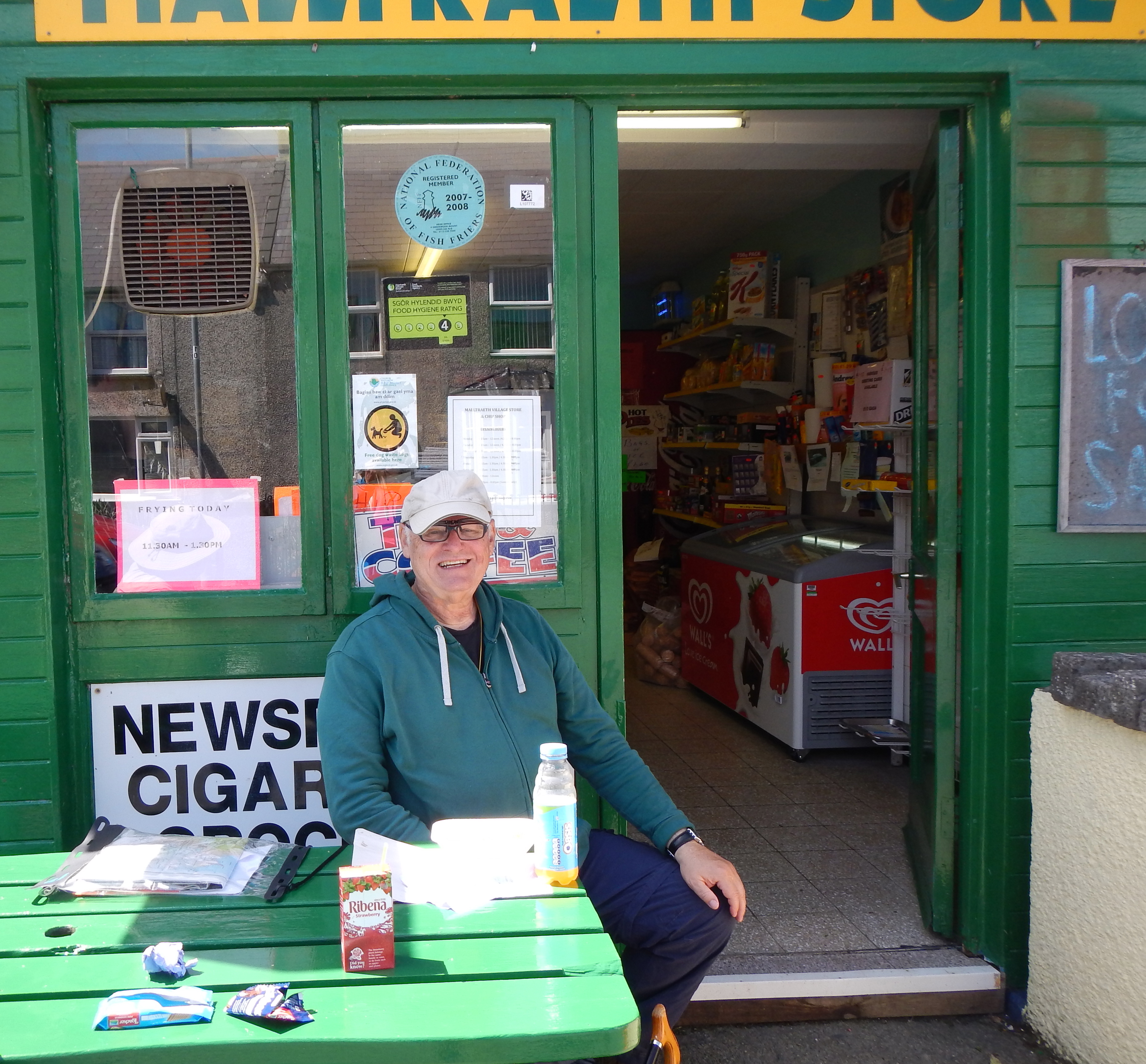
The lunchtime pubs of Malltraeth were either closed or serving no food so it was just as well that I could order fish and chips at the local store.
Encouraged by the return of bright patches in the sky we now prepared ourselves for the fourth day of our expedition. By the time Wendy had driven us back to Aberffraw, at about 9:30, the sun was shining brightly and I applied some sunscreen as we wandered around the town – taking pictures of the local churches. (The local school building was for sale.) Then we dropped down to the old bridge and crossed over to the east side of the estuary – well prepared for a long day on the trail. I knew that we would have considerable variety in a route that often turned its back on the coast and I was anxious to participate in this venture.
The costal path actually follows the bank of the river as it heads for sea but it was obvious that it would later rejoin a more straightforward track heading in a southeasterly direction and so we decided to use the latter. There were a number of cars about and each seemed to contain a number of dogs, just arriving for their morning exercise. Soon we were directed into fields, without much evidence of path, and given the assignment of heading up to some buildings on the horizon. The grassy fields were not that easy to maneuver and there was another problem. Progress into the next field was barred by a large herd of curious cows. I tried to take the lead through this field of hoofers and they parted at last.
As we reached civilization again there was a new problem. The guidebook called for a left turn but the coast path signs seemed to urge a straightforward continuation along a tarmac road. Seeing us poring over our maps and texts a woman from the adjacent cottage, Pen-y-lan, stopped to tell us that either route could be used but she recommended the tarmac, which would lead us easily through a lovely wooded estate. So this is what we did, soon enjoying the shade on a warm day as we headed on almost level surfaces first in a southeasterly direction and then in a northeasterly one. There had obviously been a rerouting of the costal path since publication of our guidebook.
There was not much traffic to worry about (the postman in his red van passed us several times) and we enjoyed views back in the direction of Aberffraw and into the adjacent fields – where calves and lambs were following mom closely. Eventually we reached a four-way junction and turned sharply downhill to another estuary. As so often happened on this trip I brought up the rear, Naomi was well ahead of me and out in front Adrian lead the way. He now turned north, paralleling the estuary, to begin a behind-the-scenes scramble on rutted footpaths and behind back gardens until, after crossing one road, we approached the sands ourselves. Another change of direction at last brought us out onto the main road of Malltraeth. It was just going noon.
Again I had done research on the Internet and that is why we were carrying no food with us today. We had come out next to the Royal Oak pub – but it was closed! Not to worry, the town had a second pub, the Joiners, and we headed here next. It was closed as well! This meant that we were down to one option – for there was an open store that featured its own fish and chip fryers and one green wooden picnic bench out front – the Malltreath Stores. From here I called our next landlady with news of our afternoon pickup point.
This place proved to be an oasis for us and I did have the fish and chips – which were delicious. It was nice to rest as well and to observe the holidaying families coming by for the kids’ ice lollies. There was the problem of a noontime loo but the proprietor (who noted that neither the Royal Oak nor the Joiners offered food anyway) said that the local pubs were paid £500 a year to offer public conveniences and that, perhaps, the Joiners might now be open. It was – though I felt a bit guilty entering its premises just to use the gents – Tosh would have insisted on buying something. I was now using the eastern version of the Explorer OS map.
A long cobb crossed the estuary as we resumed our walk – almost a mile long, it crossed a watery marshland with lovely little islands (one with grazing white horses) and lots of trackside wildflowers. We met many other people on this stretch and bicyclists who stopped to ask for directions and had a look at my OS map. Our goal was a large wooded peninsula, home of the Newborough Forest, and at last I could see Adrian and Naomi reaching a parking lot and having a rest at a picnic bench. As soon as I arrived Adrian hopped up, ready to precede and this required me to tell (once again) the story of the Catalina Death March of my youth – the day our troop of Boy Scouts joined others to walk from the isthmus to Camp Emerald Bay, a long, hot, roller coaster of a trek during which the front runners waited at each summit and then took off as soon as the tail-enders arrived – meaning that the latter got no rest at all.
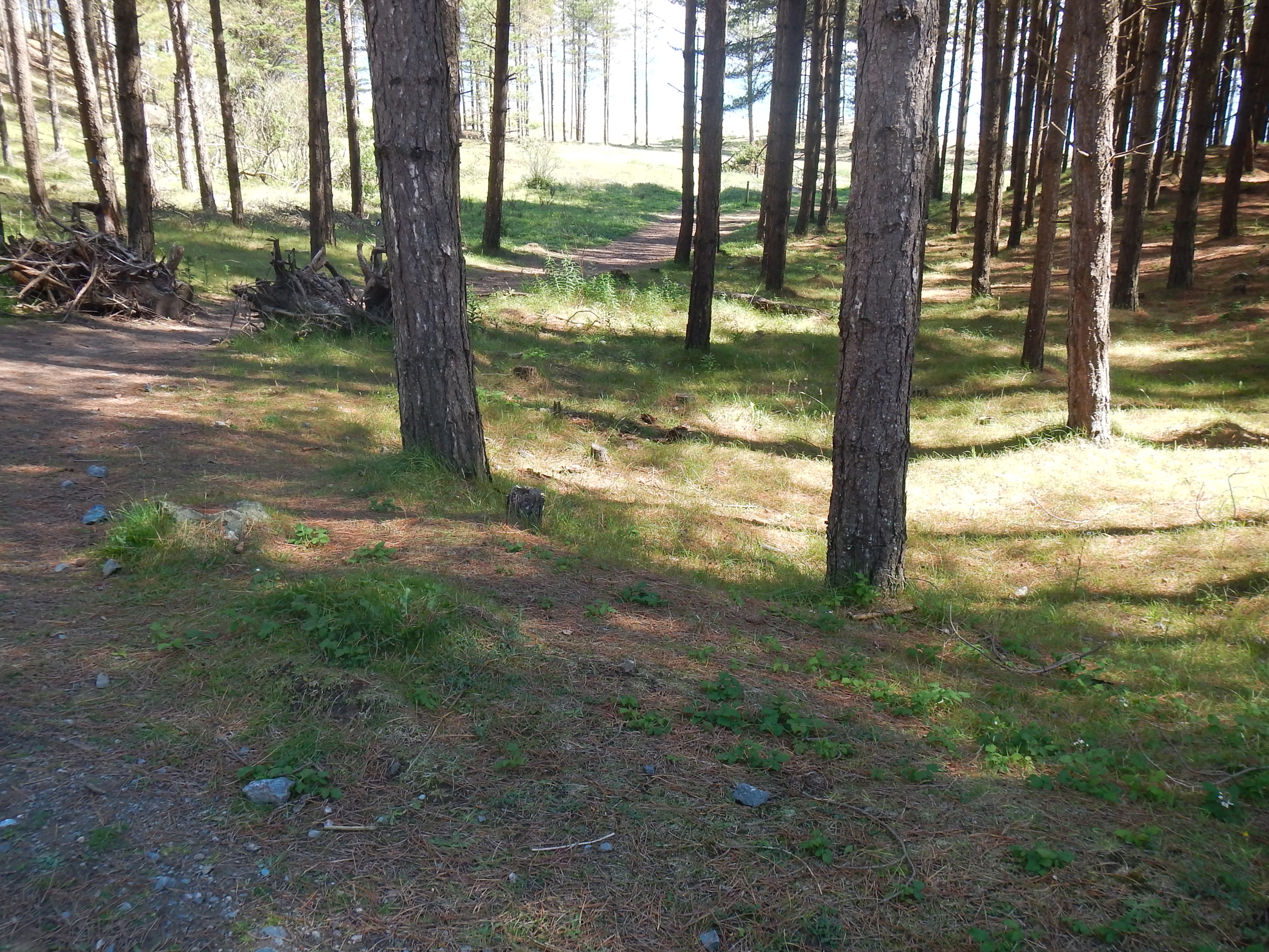
The Newborough Forest – the only extensive woodland walking on the entire coastal path.
No sooner had I completed this recital than Adrian hopped up again and disappeared. Naomi and I assumed he had continued on the coastal path, whose signs decorated the far side of the lot, but we walked almost half a mile without spotting him and we decided to turn around and retrace our steps. Soon he came up behind us. He had followed a public footpath sign (not a coastal path one) down to the marshy borders of the estuary. We were now required to move in a southerly direction within the confines of the woodland and this we did for quite some time. It was nice in here, though there was little variety for the eye and it was hard to figure out how far you had come.
After we had done this for an hour or so we were directed back to the estuary ourselves and we followed marshland on our right for some distance over more broken ground. Then we returned to forest tracks as we neared the end of the peninsula, pausing for another rest on some tree stumps. Adrian wanted to have a close-up view of the Llanddwynn Island, a line of summits that jutted into the Menai Strait, so we again agreed to part – agreeing to rendezvous at a corner of the forest where the path turned its back on the beach. Naomi went with him.
I was moving quite slowly now, carefully following the coast path signs. Soon I had reached the southern shore of the peninsula and I found myself down on the sands briefly – sharing space with dozens of families and their kids. Across the Menai Strait there were magnificent views of the adjacent mountains and of Snowdonia itself. Roads carried me in an easterly direction – though pedestrians were often provided with their own paved footpath here. At last, near 4:00, I reached the desired corner (for the path turned north here) and I sat down on a bank, had some liquid, and waited for the relatives to show up. It was nice and cool in here and I needed the rest but after half an hour or so I took my phone out and turned it on in case the Tschoegls were trying to reach me. From other visitors to this corner I could tell that there was also a path leading up to this spot from the beach and sure enough it was from this angle that the others finally arrived.
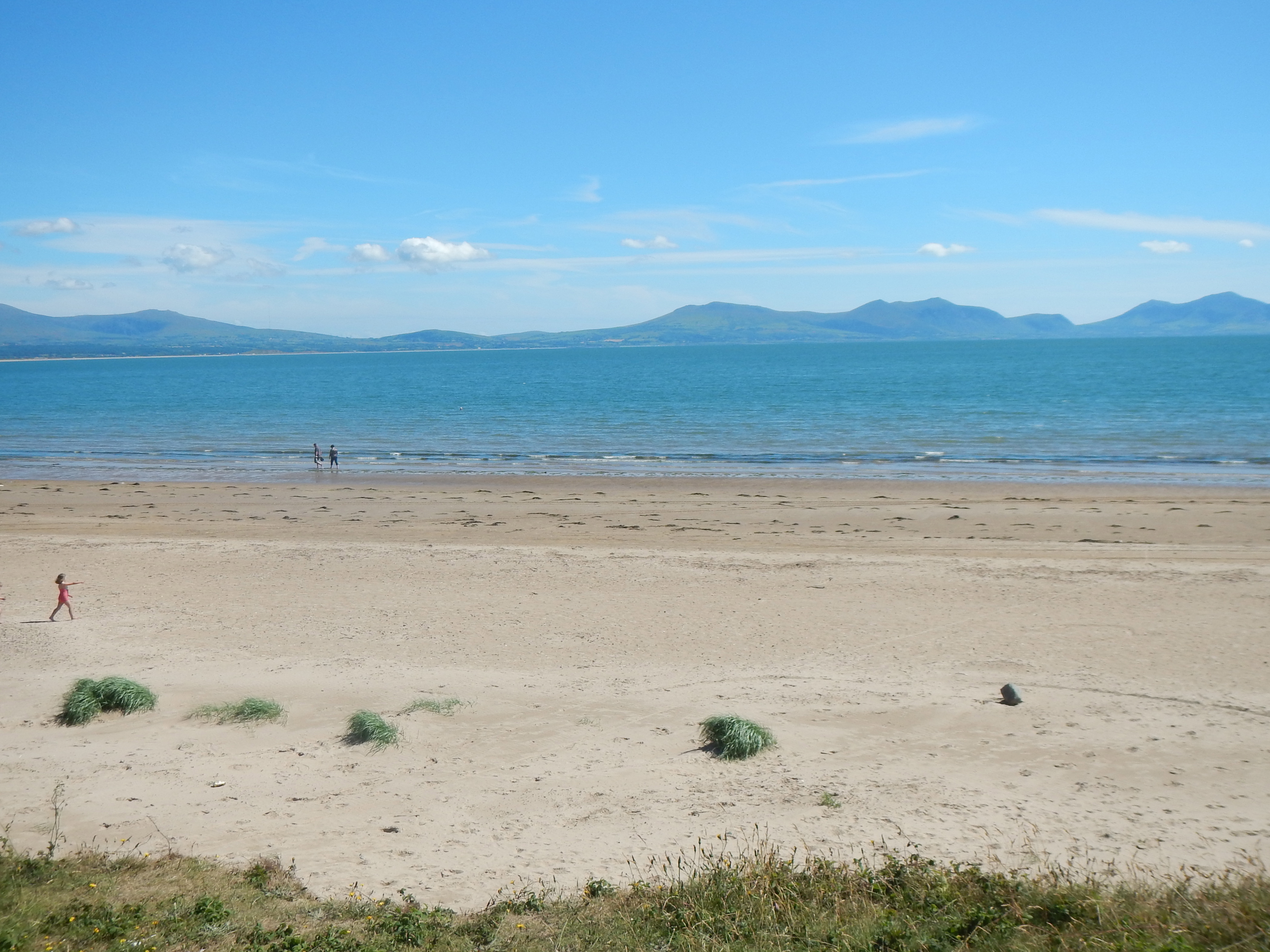
A view across the Menai Strait from Llanddwyn Bay.
We now had a long mile or so, first within the borders of the forest on sandy tracks and then out in the open along paths and broken fields before finally reaching the parking lot at Llyn Rhos-Ddu. Here there was a monumental sculpture honoring marram grass (don’t ask me why) and a field of horses. From a picnic table I phoned our landlady again and she was soon on her way to pick us up. It had gone 5:30 and I had covered some twelve miles today.
Bodlawen b&b was a very comfortable place – where we again expected to spend two nights. Our landlady, a church organist and choir member, showed us to our rooms and then I could hear the strains of “Someone To Watch Over Me” on her piano. The promised Indian restaurant seemed to have disappeared but we were driven after a rest and a clean-up to the Y Groeslon pub in nearby Brynsiecyn. This was a very nice place and we enjoyed our drinks and a tasty meal. It was one of the few times I dragged my iPad out and we took pictures both outside and in – I sent a photo of my chili con carne to the meat-craving pregnant Makiko.
When our meal was concluded we called the b&b again and Jack came to fetch us. He said he drove very slowly and hadn’t known any English until he was a teenager. I think there was still some brightness in the sky when I turned out the lights after a tiring but successful day.
I sat out the next day and completed it the following year. To continue from Llyn-Rhos-Ddu, therefore, you need:
Day 7: Llyn-Rhos-ddu to Lanfairpwll
If you want to see what we got up to on the last day of the 2014 venture you need: